Aircraft N433DF Photo
Photo ID: AC194988
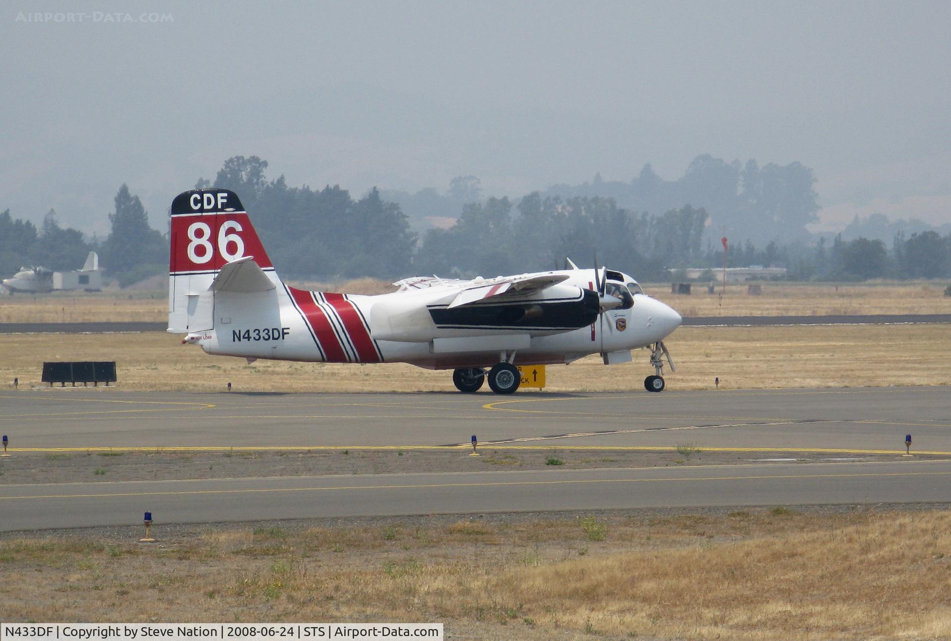
CALFIRE Marsh Aviation S-2F3AT conversion Tanker #86 with 'Sonoma' titles taxying in VERY smoky conditions @ Santa Rosa, CA
Photo Info
EXIF Data
| Camera Make | Canon |
|---|---|
| Camera Model | Canon PowerShot A720 IS |
| Shutter Speed | 1/800 sec |
| Aperture | f/4.8 |
| ISO | 80 |
| Focal Length | 34.8 mm |
| Exposure Bias | 0 EV |
| White Balance | Auto |
| Dimensions | 2582 × 1741 |
| Date Taken | 2008-06-24 11:55:57 |
More photos of N433DF
Total 14 photos.
View all photos

olivier Cortot
@ KSTS

Steve Nation
@ STS

JAWS
@ KSTS

Jack Snell
@ STS

olivier Cortot
@ KSTS