Aircraft 42 Photo
Photo ID: AC204962
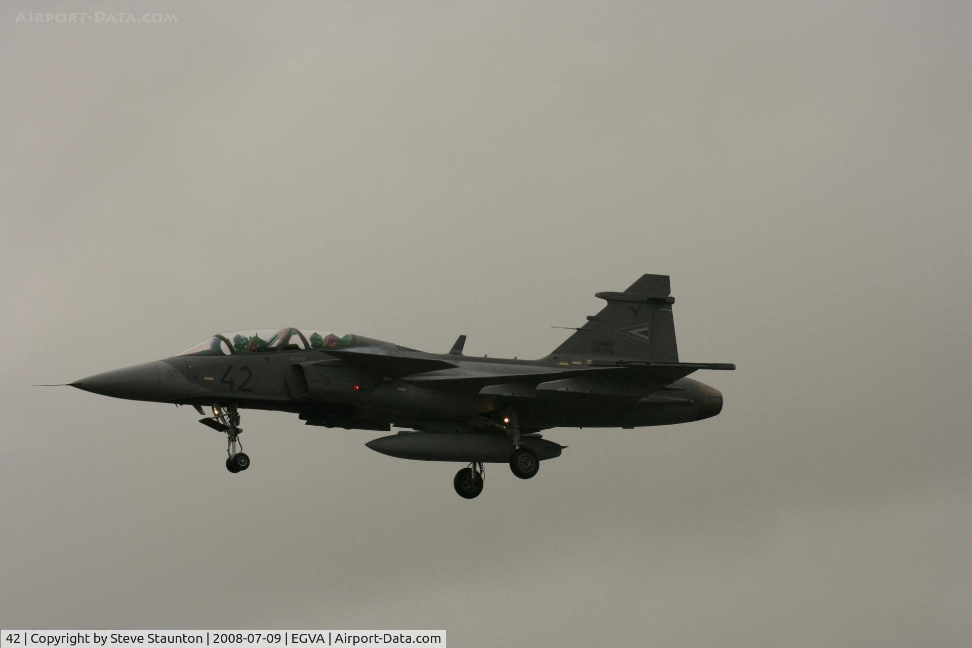
Taken at the Royal International Air Tattoo 2008 during arrivals and departures (show days cancelled due to bad weather)
Location:
Photo Info
EXIF Data
| Camera Make | Canon |
|---|---|
| Camera Model | Canon EOS DIGITAL REBEL XTi |
| Shutter Speed | 1/1000 sec |
| Aperture | f/8 |
| ISO | 400 |
| Focal Length | 161 mm |
| Exposure Bias | 0 EV |
| Metering Mode | Pattern |
| White Balance | Manual |
| Dimensions | 3888 × 2592 |
| Date Taken | 2008-07-09 15:34:55 |
More photos of 42
Total 16 photos.
View all photos
 - by Steve Staunton")
Steve Staunton
@ EGVA

Stefan Rockenbauer
@ LHKE

Jan Lefers
@ EHVK

Raymond De Clercq
@ EBFN

leo larsen
@ SXF