Aircraft N9YZ Photo
Photo ID: AC329828
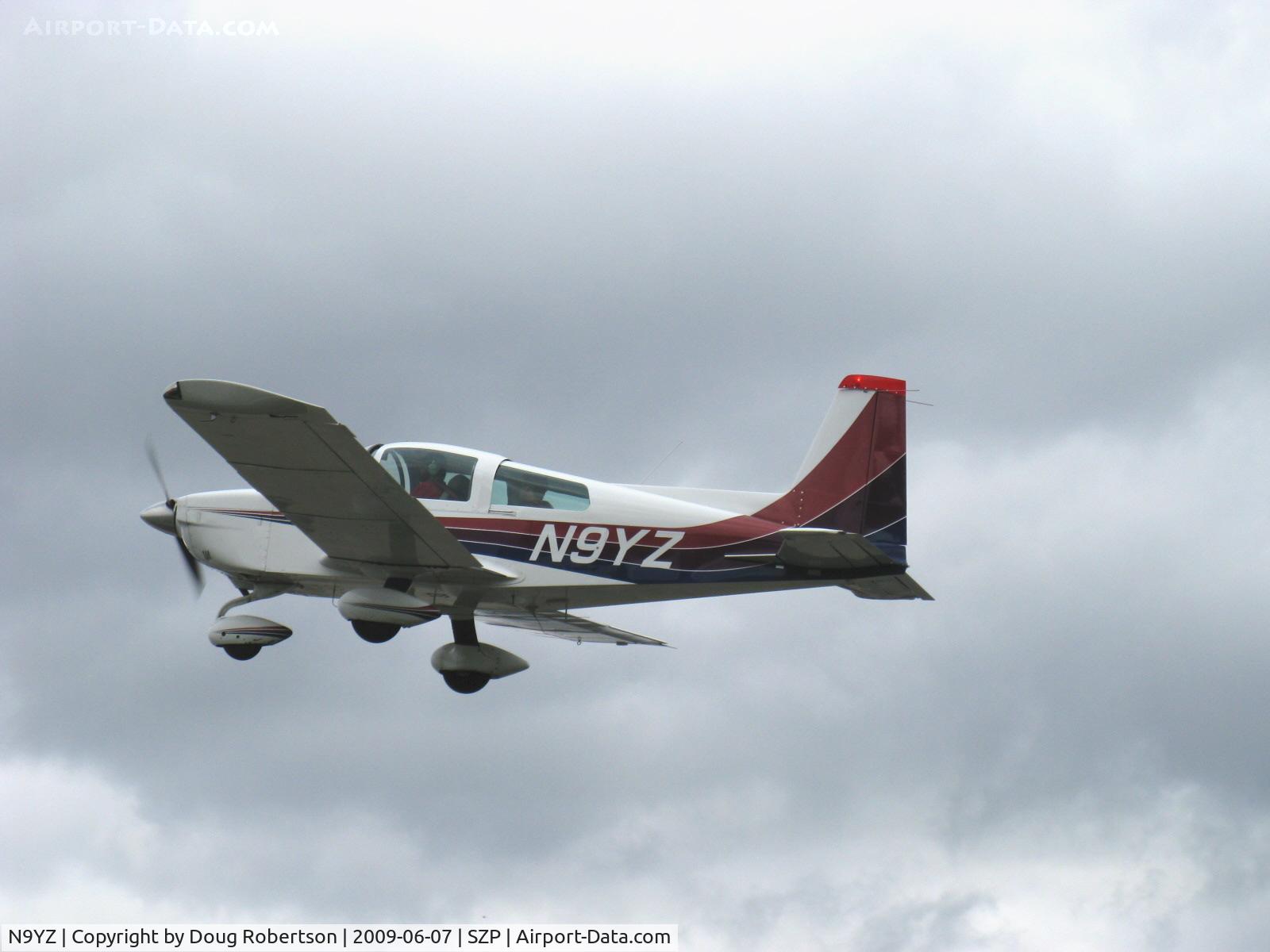
1975 Grumman American AA-5 CHEETAH, Lycoming O-320 150 Hp, takeoff climb Rwy 22-Young Eagles Flight-kids 8 to 18
Photo Info
EXIF Data
| Camera Make | Canon |
|---|---|
| Camera Model | Canon PowerShot A720 IS |
| Shutter Speed | 1/1250 sec |
| Aperture | f/4 |
| ISO | 9792 |
| Focal Length | 22.8 mm |
| Exposure Bias | 0 EV |
| Metering Mode | Unknown (9424) |
| White Balance | Manual |
| Dimensions | 1600 × 1200 |
| Date Taken | 2009-06-07 10:22:12 |
More photos of N9YZ
Total 110 photos.
View all photos

Doug Robertson
@ SZP

Doug Robertson
@ SZP

Doug Robertson
@ SZP

Doug Robertson
@ SZP

Doug Robertson
@ SZP