Photo ID: AC343010
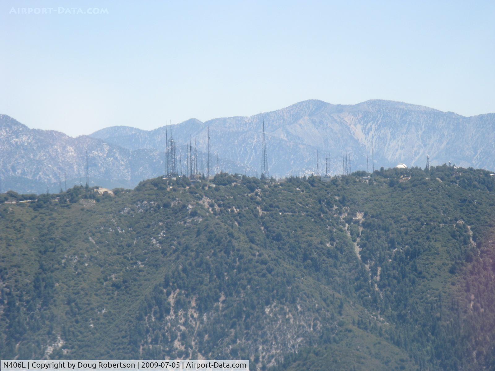
6,170' Mount Wilson-Los Angeles Radio & TV transmitting antenna Towers & Observatory Dome seen from N406L.
Photo Info
| Photographer |
Doug Robertson
Contact
|
|---|---|
| Shot Date | 2009-07-05 |
| Upload Date | 2009-07-05 |
| Views | 314 |
EXIF Data
| Camera Make | Canon |
|---|---|
| Camera Model | Canon PowerShot A720 IS |
| Shutter Speed | 1/250 sec |
| Aperture | f/4.8 |
| ISO | 80 |
| Focal Length | 34.8 mm |
| Exposure Bias | 0 EV |
| Metering Mode | Pattern |
| White Balance | Auto |
| Dimensions | 1600 × 1200 |
| Date Taken | 2009-07-05 12:01:11 |
More photos of N406L
Total 210 photos.
View all photos

Doug Robertson
@ SZP

Doug Robertson
@ SZP

Doug Robertson
@ SZP

Doug Robertson
@ SZP

Ingo Warnecke
@ SZP