Aircraft G-HAEC Photo
Photo ID: AC360399
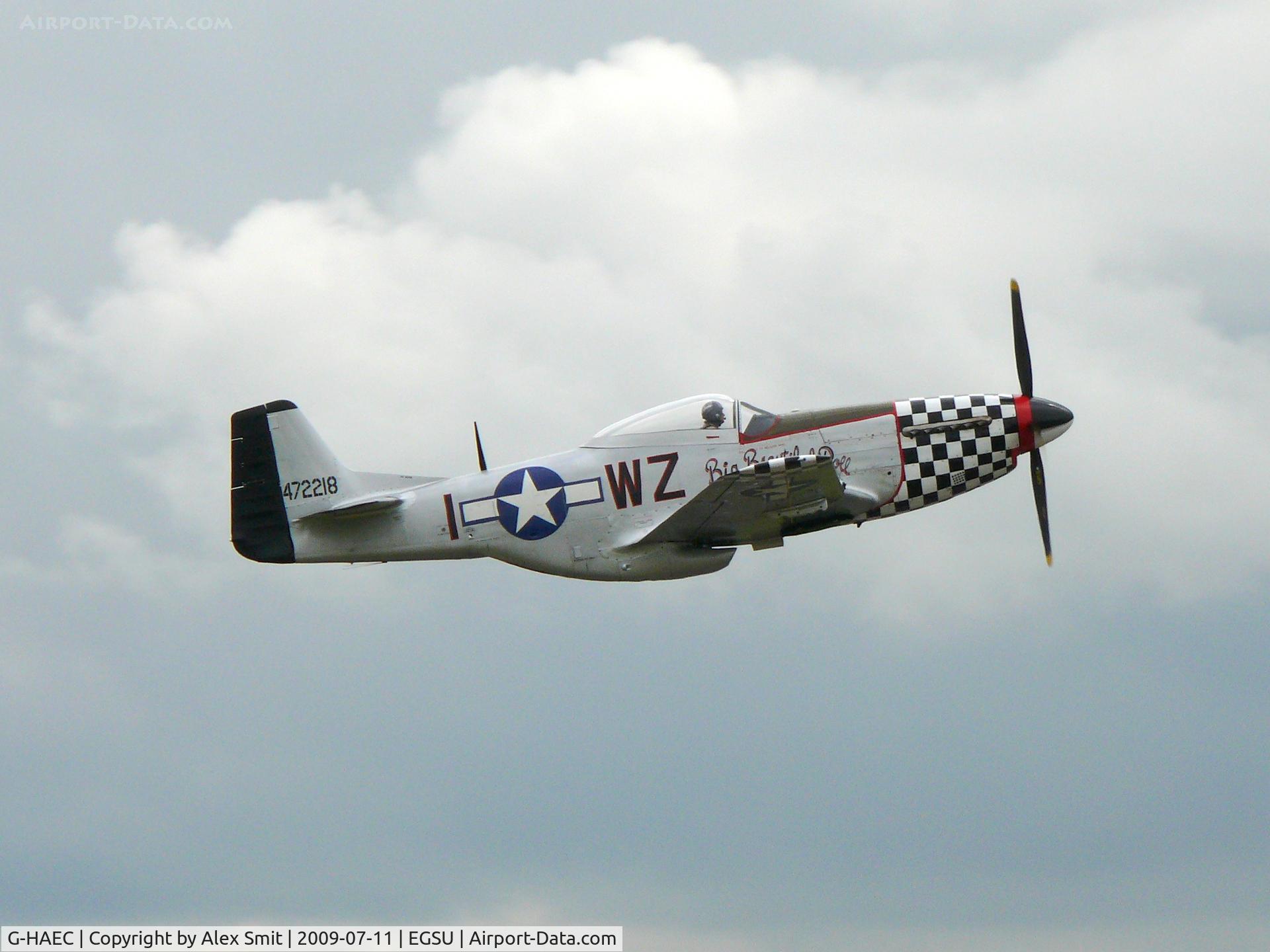
North American P-51D Mustang G-HAEC Rob Davies painted as as US Air Force 44-72218/I-WZ Big Beautiful Doll
Location:
Photo Info
EXIF Data
| Camera Make | Panasonic |
|---|---|
| Camera Model | DMC-FZ50 |
| Shutter Speed | 1/800 sec |
| Aperture | f/8 |
| ISO | 100 |
| Focal Length | 88.8 mm |
| Exposure Bias | 0 EV |
| Metering Mode | Pattern |
| White Balance | Auto |
| Software | Picasa 3.0 |
| Dimensions | 2587 × 1940 |
| Date Taken | 2009-07-11 14:55:31 |
More photos of G-HAEC
Total 47 photos.
View all photos

Holger Zengler
@ EDDB
 - by Steve Staunton")
Steve Staunton
@ EGUD

Martin Browne
@ EGKH

leo larsen
@ SXF

Eric.Fishwick
@ EGSU