Oxnard Airport Photo
Photo ID: AP140
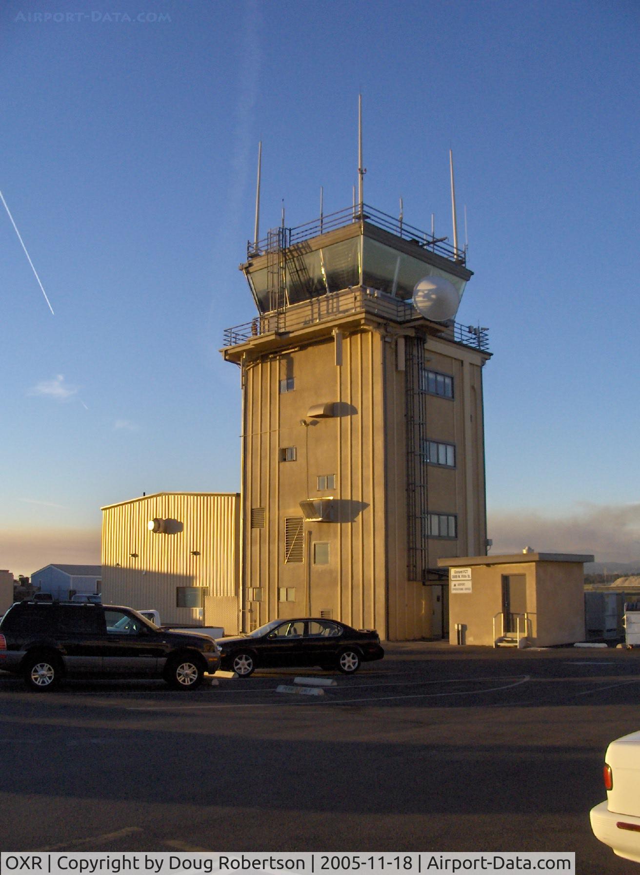
Oxnard, California FAA Control Tower OXR, School Canyon brushfire smoke North
Photo Info
| Airport | Oxnard Airport |
|---|---|
| Photographer |
Doug Robertson
Contact
|
| Shot Date | 2005-11-18 |
| Upload Date | 2005-11-18 |
| Views | 1,343 |
EXIF Data
| Camera Make | Hewlett-Packard |
|---|---|
| Camera Model | HP PhotoSmart R607 (V01.00)d |
| Shutter Speed | 1/552 sec |
| Aperture | f/4.3 |
| ISO | 100 |
| Focal Length | 5.8 mm |
| Exposure Bias | 0 EV |
| Metering Mode | Center-weighted average |
| White Balance | Auto |
| Dimensions | 1312 × 1792 |
| Date Taken | 2005-11-18 17:29:31 |
More photos of Oxnard Airport
Total 52 photos.
View all photos

Doug Robertson

Doug Robertson

Doug Robertson

Doug Robertson
, extensive ag. cropdusting. Update: Dec. 2017-no more Santa's Sleigh helicopter flights over County.-drone interference issues - by Doug Robertson")
Doug Robertson