Williamsport Regional Airport Photo
Photo ID: AP223
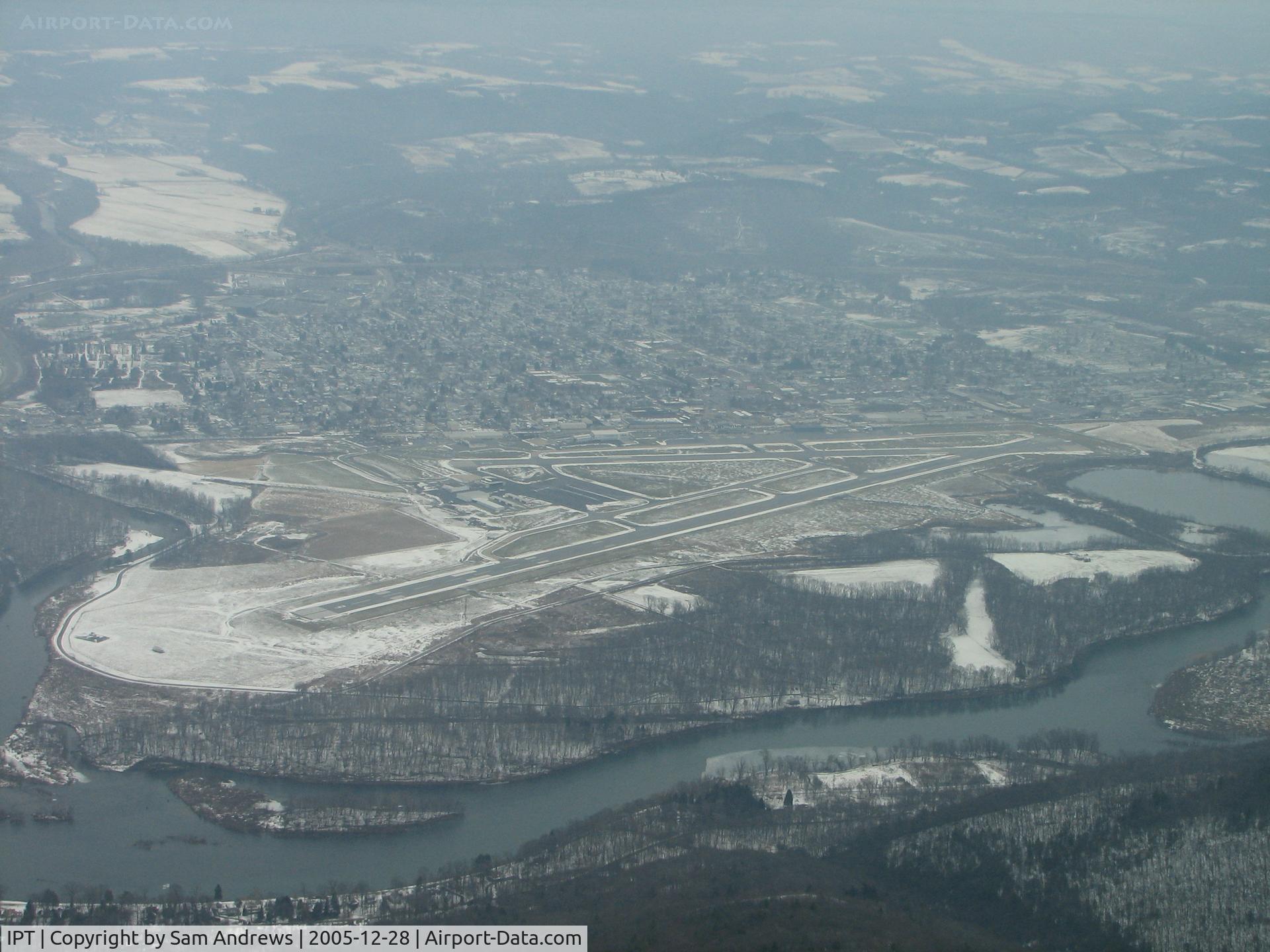
Just over the ridge headed north to land RWY9. The Susquehanna River can be seen on the south side of the airport. If you look close you can see WalMarts Lear N78PR parked on the ramp.
Location:
Photo Info
| Airport | Williamsport Regional Airport |
|---|---|
| Photographer |
Sam Andrews
Contact
|
| Shot Date | 2005-12-28 |
| Upload Date | 2006-01-03 |
| Views | 1,591 |
EXIF Data
| Camera Make | Canon |
|---|---|
| Camera Model | Canon PowerShot S2 IS |
| Shutter Speed | 1/250 sec |
| Aperture | f/4 |
| Focal Length | 10.4 mm |
| Exposure Bias | 0 EV |
| Metering Mode | Pattern |
| White Balance | Auto |
| Dimensions | 2592 × 1944 |
| Date Taken | 2005-12-28 11:28:53 |
More photos of Williamsport Regional Airport
Total 35 photos.
View all photos

Sam Andrews

Sam Andrews

Sam Andrews

Sam Andrews

Sam Andrews