Santa Paula Airport Photo
Photo ID: AP343
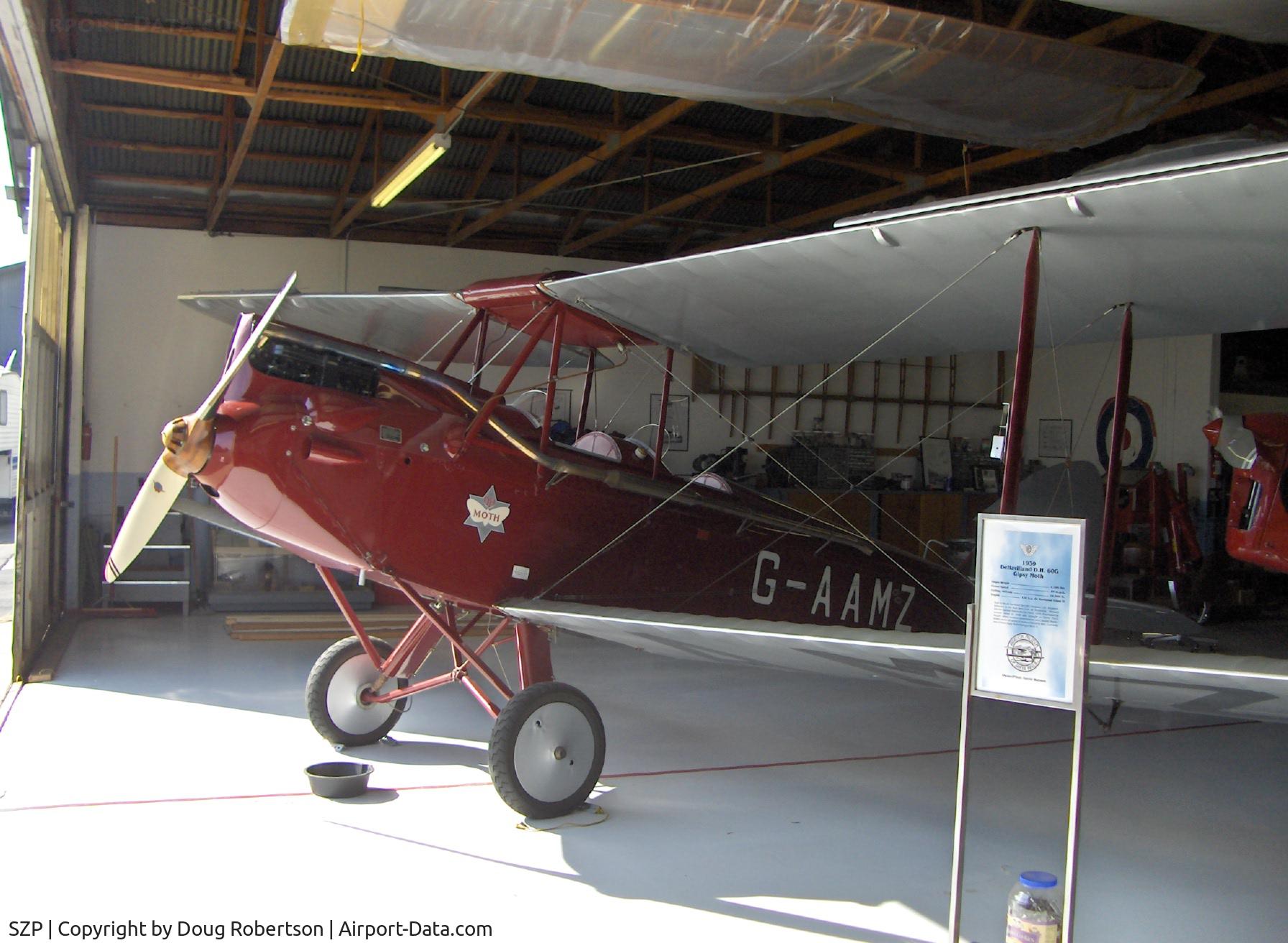
Aviation Museum of Santa Paula, Hangar 2, The Watson hangar, 1930 D.H.60G Gipsy Moth, see N60MZ for more data
Photo Info
| Airport | Santa Paula Airport |
|---|---|
| Photographer |
Doug Robertson
Contact
|
| Upload Date | 2006-02-06 |
| Views | 1,263 |
EXIF Data
| Camera Make | Hewlett-Packard |
|---|---|
| Camera Model | HP PhotoSmart R607 (V01.00)d |
| Shutter Speed | 1/431 sec |
| Aperture | f/2.6 |
| ISO | 100 |
| Focal Length | 5.8 mm |
| Exposure Bias | 0 EV |
| Metering Mode | Center-weighted average |
| White Balance | Auto |
| Dimensions | 1792 × 1312 |
| Date Taken | 2006-02-05 14:13:20 |
More photos of Santa Paula Airport
Total 1165 photos.
View all photos

Doug Robertson

Doug Robertson

Doug Robertson

Doug Robertson

Doug Robertson