Santa Paula Airport Photo
Photo ID: AP1805
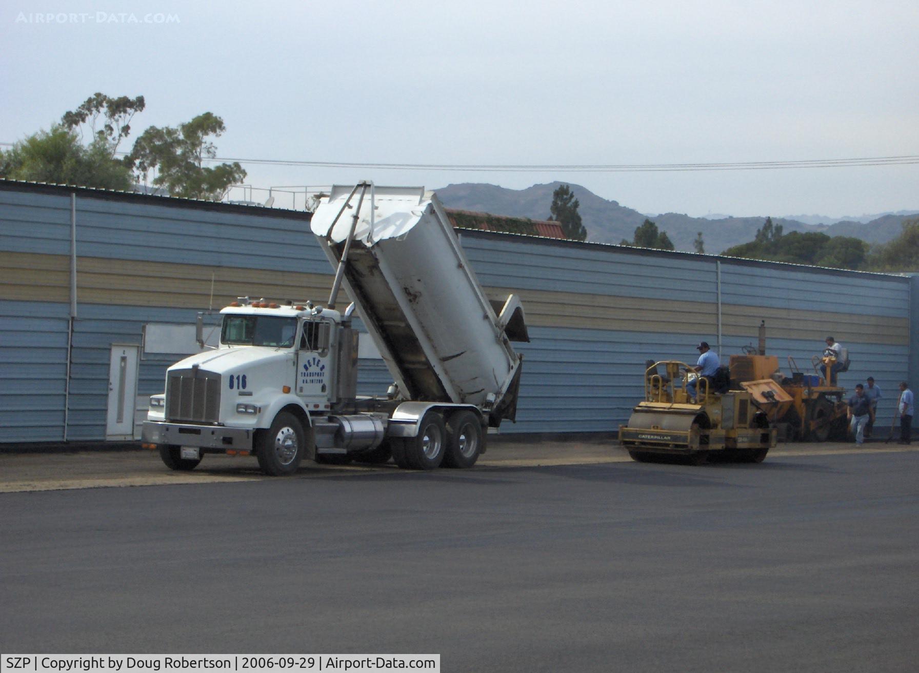
Filling and grading newly resurfaced asphalt aircraft ramp
Photo Info
| Airport | Santa Paula Airport |
|---|---|
| Photographer |
Doug Robertson
Contact
|
| Shot Date | 2006-09-29 |
| Upload Date | 2006-09-30 |
| Views | 1,037 |
EXIF Data
| Camera Make | Hewlett-Packard |
|---|---|
| Camera Model | HP PhotoSmart R607 (V01.00)d |
| Shutter Speed | 1/332 sec |
| Aperture | f/7.7 |
| ISO | 100 |
| Focal Length | 17.4 mm |
| Exposure Bias | 0 EV |
| Metering Mode | Center-weighted average |
| White Balance | Auto |
| Dimensions | 1792 × 1312 |
| Date Taken | 2006-09-29 15:35:18 |
More photos of Santa Paula Airport
Total 1165 photos.
View all photos

Doug Robertson

Doug Robertson

Doug Robertson

Doug Robertson
 and Automobiles-August 1985 - by Doug Robertson")
Doug Robertson