Vancouver International Airport Photo
Photo ID: AP2330
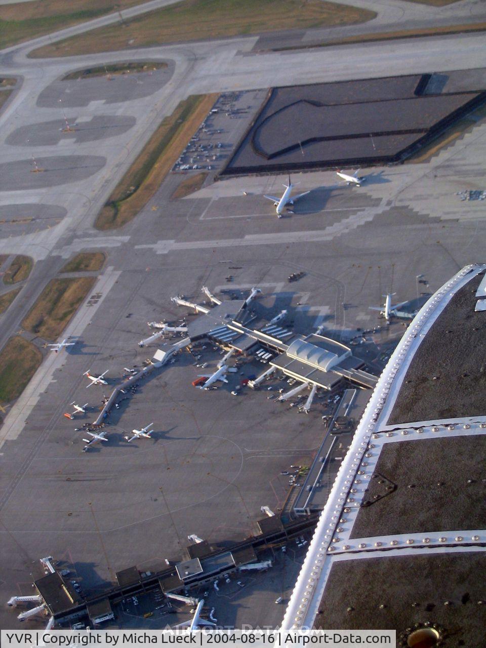
Seen from Harbour Air Single Otter C-GUTW
Location:
Photo Info
| Airport | Vancouver International Airport |
|---|---|
| Photographer |
Micha Lueck
Contact
|
| Shot Date | 2004-08-16 |
| Upload Date | 2006-11-19 |
| Views | 1,065 |
EXIF Data
| Camera Make | Canon |
|---|---|
| Camera Model | Canon PowerShot A70 |
| Shutter Speed | 1/250 sec |
| Aperture | f/4.8 |
| Focal Length | 16.2 mm |
| Exposure Bias | 0 EV |
| Metering Mode | Pattern |
| Software | Adobe Photoshop Elements 3.0 Windows |
| Dimensions | 960 × 1280 |
| Date Taken | 2004-08-16 21:21:48 |
More photos of Vancouver International Airport
Total 177 photos.
View all photos

Timothy Aanerud

Manuel Vieira Ribeiro

metricbolt

metricbolt

metricbolt