Carroll County Rgnl/jack B Poage Field Airport Photo
Photo ID: AP2530
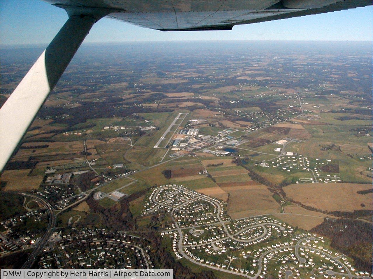
passing DMW looking north
Photo Info
| Airport | Carroll County Rgnl/jack B Poage Field Airport |
|---|---|
| Photographer |
Herb Harris
|
| Upload Date | 2006-12-09 |
| Views | 932 |
EXIF Data
| Camera Make | Agfa Gevaert |
|---|---|
| Camera Model | SR841 |
| Shutter Speed | 1/444 sec |
| Aperture | f/8 |
| ISO | 100 |
| Focal Length | 5.3 mm |
| Exposure Bias | 0 EV |
| Metering Mode | Unknown (0) |
| Software | Adobe Photoshop Elements 2.0 |
| Dimensions | 1280 × 960 |
| Date Taken | 2002-11-10 10:47:40 |
More photos of Carroll County Rgnl/jack B Poage Field Airport

Herb Harris

Herb Harris