Carroll County Rgnl/jack B Poage Field Airport Photo
Photo ID: AP2531
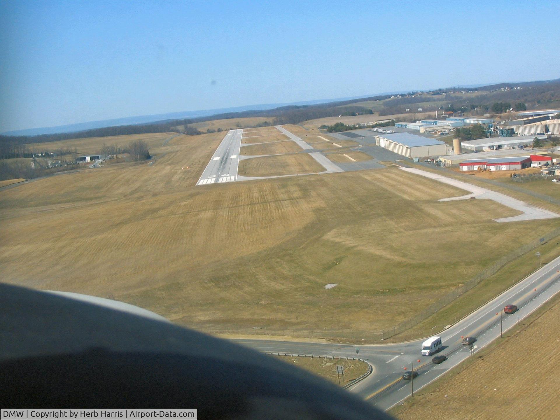
On final rwy 34
Photo Info
| Airport | Carroll County Rgnl/jack B Poage Field Airport |
|---|---|
| Photographer |
Herb Harris
|
| Upload Date | 2006-12-09 |
| Views | 959 |
EXIF Data
| Camera Make | Canon |
|---|---|
| Camera Model | Canon PowerShot A75 |
| Shutter Speed | 1/800 sec |
| Aperture | f/3.5 |
| Focal Length | 9.4 mm |
| Exposure Bias | 0 EV |
| Metering Mode | Pattern |
| White Balance | Auto |
| Dimensions | 1987 × 1490 |
| Date Taken | 2006-03-27 14:39:47 |
More photos of Carroll County Rgnl/jack B Poage Field Airport

Herb Harris

Herb Harris