Santa Paula Airport Photo
Photo ID: AP2661
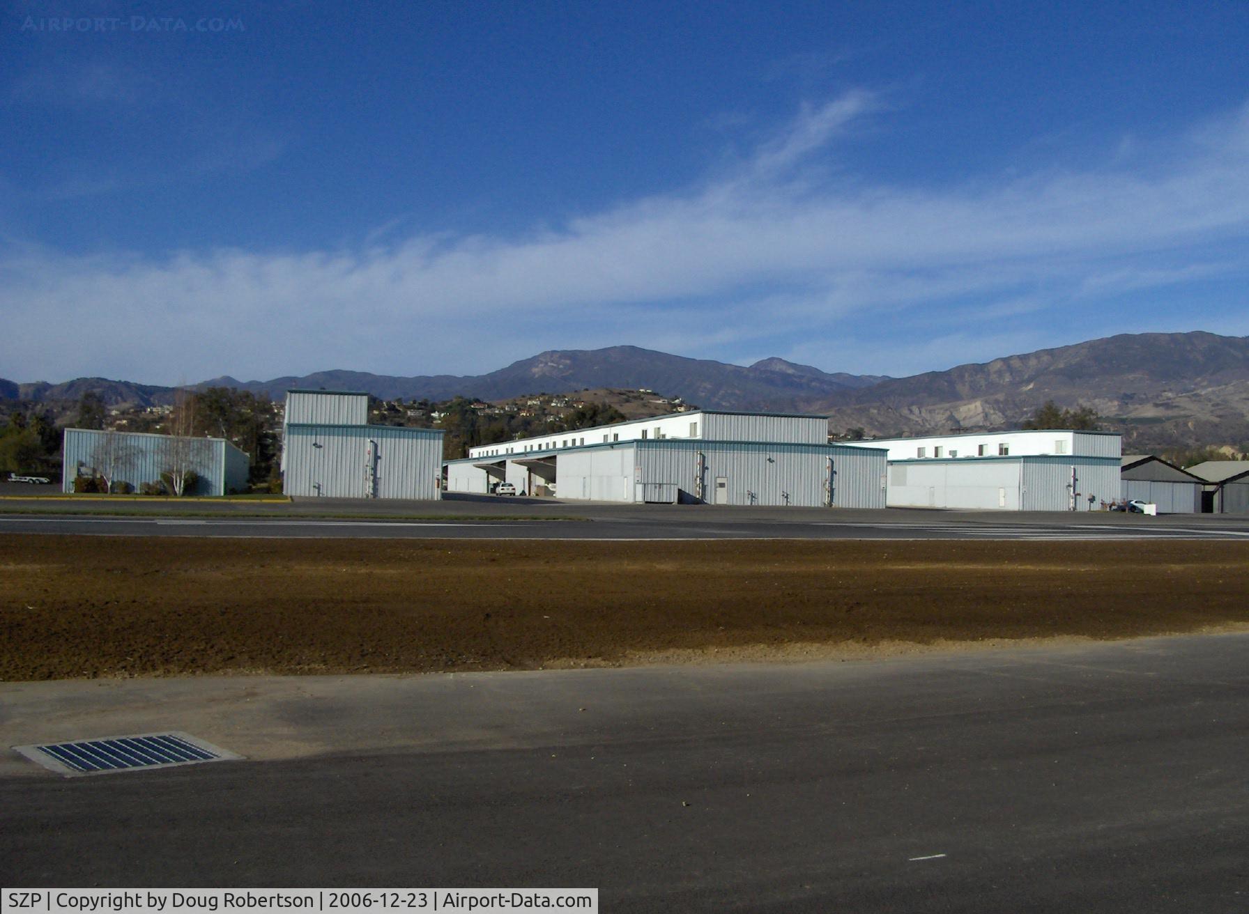
Newer Hangars, Topa Topa Mnts. in background-6,244 feet, Hines Peak 6,704 feet elevation, nearer to right-Santa Paula Ridge 2,817 feet elevation
Photo Info
| Airport | Santa Paula Airport |
|---|---|
| Photographer |
Doug Robertson
Contact
|
| Shot Date | 2006-12-23 |
| Upload Date | 2006-12-23 |
| Views | 989 |
EXIF Data
| Camera Make | Hewlett-Packard |
|---|---|
| Camera Model | HP PhotoSmart R607 (V01.00) |
| Shutter Speed | 1/1754 sec |
| Aperture | f/4.3 |
| ISO | 100 |
| Focal Length | 5.8 mm |
| Exposure Bias | 0 EV |
| Metering Mode | Center-weighted average |
| White Balance | Auto |
| Dimensions | 1792 × 1312 |
| Date Taken | 2006-12-23 14:26:28 |
More photos of Santa Paula Airport
Total 1165 photos.
View all photos

Doug Robertson

Doug Robertson

Doug Robertson
 and Automobiles-August 1985 - by Doug Robertson")
Doug Robertson

Doug Robertson