Santa Paula Airport Photo
Photo ID: AP2943
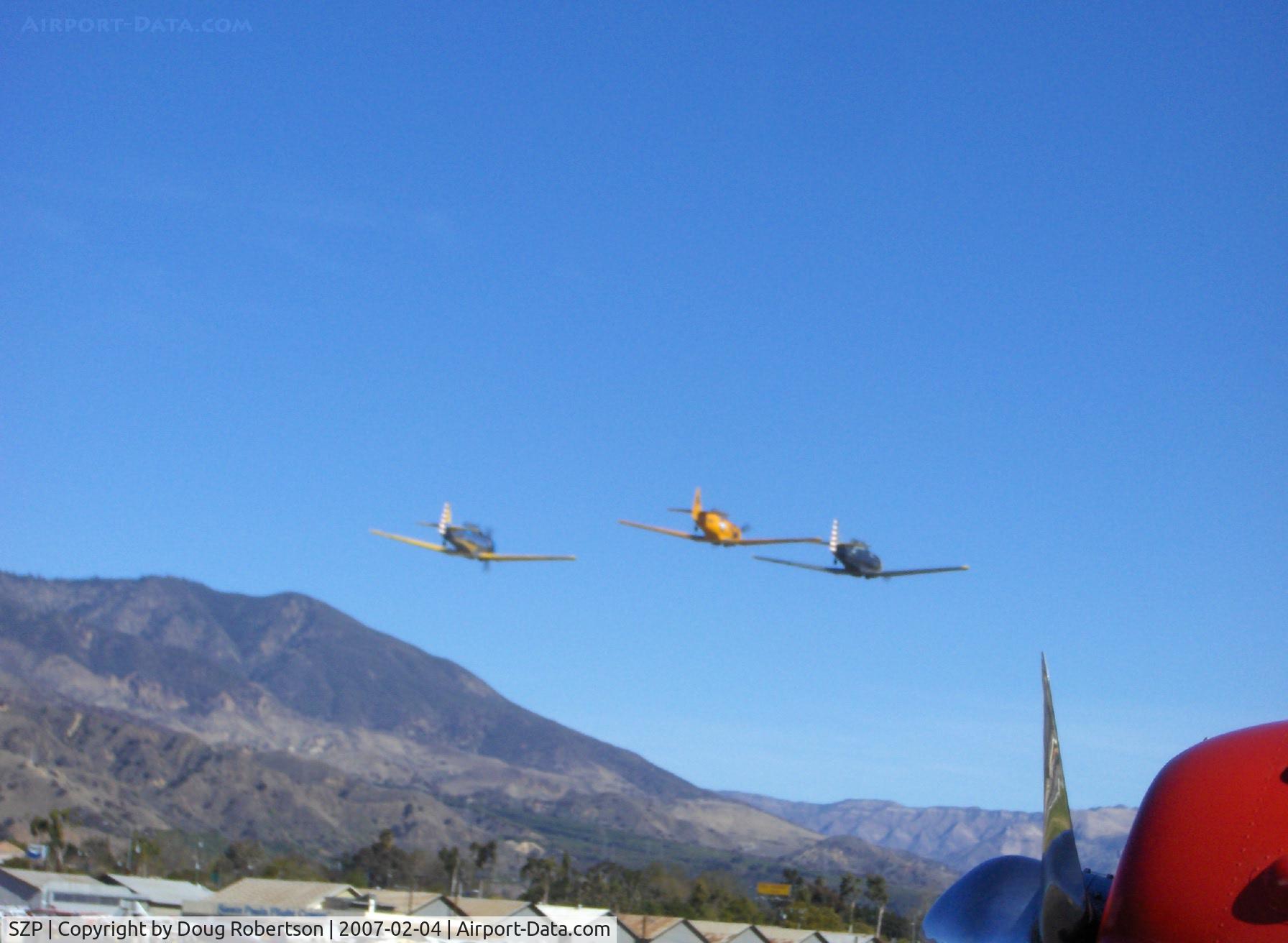
N4995C T-6G 'Thirsty Girl', N89014 SNJ-5, N8540P AT-6D 'Miss Universe' vee formation high speed low pass over Runway 04 (very nice on the photographer's birthday!)
Photo Info
| Airport | Santa Paula Airport |
|---|---|
| Photographer |
Doug Robertson
Contact
|
| Shot Date | 2007-02-04 |
| Upload Date | 2007-02-04 |
| Views | 1,045 |
EXIF Data
| Camera Make | Hewlett-Packard |
|---|---|
| Camera Model | HP PhotoSmart R607 (V01.00) |
| Shutter Speed | 1/483 sec |
| Aperture | f/7.7 |
| ISO | 100 |
| Focal Length | 17.4 mm |
| Exposure Bias | 0 EV |
| Metering Mode | Center-weighted average |
| White Balance | Auto |
| Dimensions | 1792 × 1312 |
| Date Taken | 2007-02-04 11:49:58 |
More photos of Santa Paula Airport
Total 1165 photos.
View all photos

Doug Robertson

Doug Robertson

Doug Robertson

Doug Robertson

Doug Robertson