Galeão Airport Photo
Photo ID: AP3056
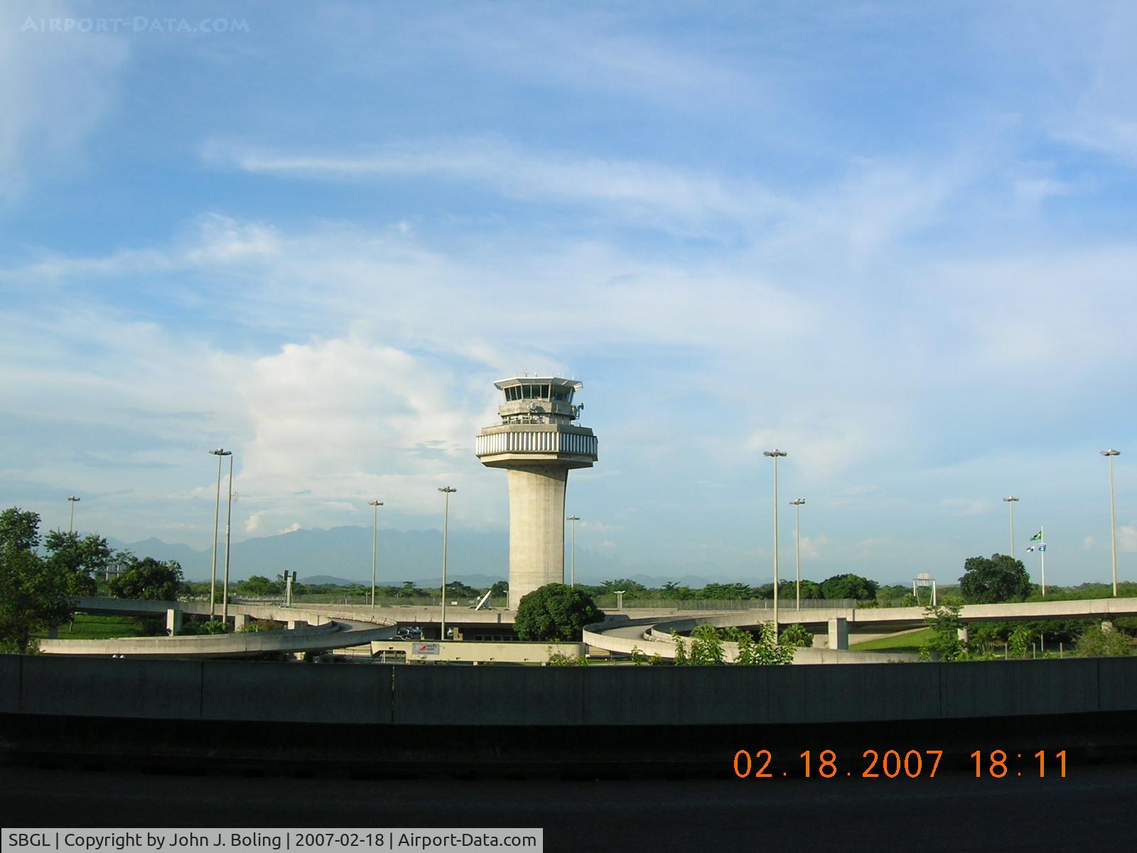
Control Tower at Rio
Location:
Photo Info
| Airport | Galeão Airport |
|---|---|
| Photographer |
John J. Boling
Contact
|
| Shot Date | 2007-02-18 |
| Upload Date | 2007-02-23 |
| Views | 1,637 |
EXIF Data
| Camera Make | NIKON |
|---|---|
| Camera Model | E4600 |
| Shutter Speed | 1/344 sec |
| Aperture | f/4.9 |
| ISO | 50 |
| Focal Length | 5.7 mm |
| Exposure Bias | 0 EV |
| Metering Mode | Pattern |
| White Balance | Auto |
| Software | E4600v1.1 |
| Dimensions | 1600 × 1200 |
| Date Taken | 2007-02-18 18:11:39 |
More photos of Galeão Airport
Total 12 photos.
View all photos

John J. Boling

FerryPNL

John J. Boling

John J. Boling

John J. Boling