Santa Paula Airport Photo
Photo ID: AP3796
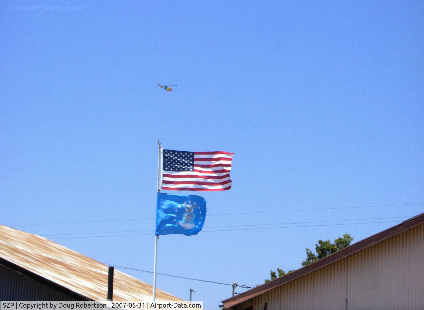
Ventura County Sheriff's Dept. Helicopter on continuous circular orbit search with high speed auto chase of felony warrant suspect over Santa Paula. One arrested, one escaped.
Photo Info
| Airport | Santa Paula Airport |
|---|---|
| Photographer |
Doug Robertson
Contact
|
| Shot Date | 2007-05-31 |
| Upload Date | 2007-06-01 |
| Views | 942 |
EXIF Data
| Camera Make | Hewlett-Packard |
|---|---|
| Camera Model | HP PhotoSmart R607 (V01.00) |
| Shutter Speed | 1/515 sec |
| Aperture | f/7.7 |
| ISO | 4016 |
| Focal Length | 17.4 mm |
| Exposure Bias | 0 EV |
| Metering Mode | Unknown (3872) |
| White Balance | Manual |
| Dimensions | 1792 × 1312 |
| Date Taken | 2007-05-31 13:30:16 |
More photos of Santa Paula Airport
Total 1165 photos.
View all photos

Doug Robertson

Doug Robertson

Doug Robertson

Doug Robertson

Ron Eyanson