Greene County-lewis A. Jackson Regional Airport Photo
Photo ID: AP4136
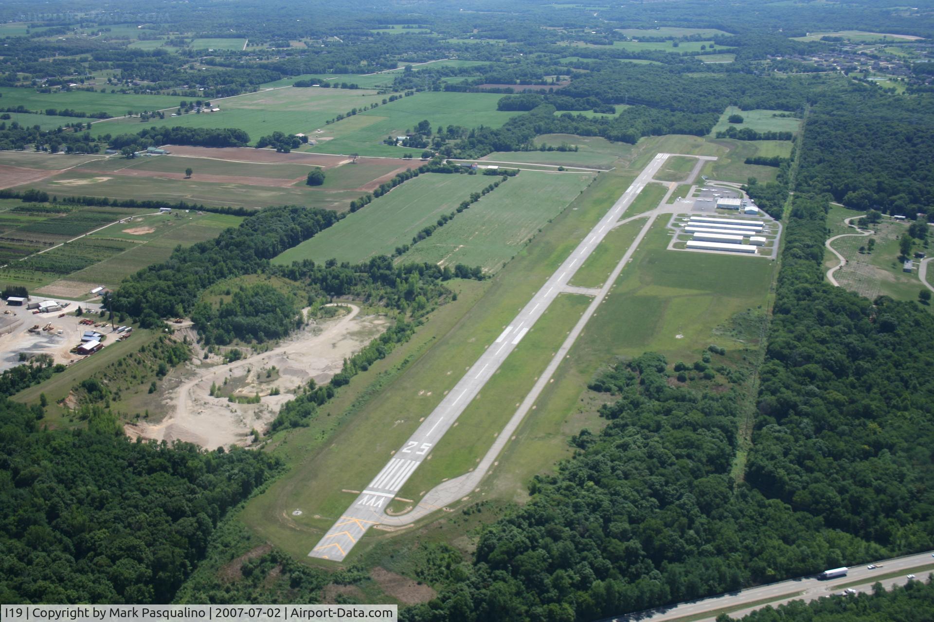
Greene County/Jackson Regional
Location:
Photo Info
| Airport | Greene County-lewis A. Jackson Regional Airport |
|---|---|
| Photographer |
Mark Pasqualino
Contact
|
| Shot Date | 2007-07-02 |
| Upload Date | 2007-07-03 |
| Views | 1,457 |
EXIF Data
| Camera Make | Canon |
|---|---|
| Camera Model | Canon EOS DIGITAL REBEL XT |
| Shutter Speed | 1/800 sec |
| Aperture | f/4 |
| ISO | 100 |
| Focal Length | 25 mm |
| Exposure Bias | 0 EV |
| Metering Mode | Pattern |
| White Balance | Auto |
| Dimensions | 3456 × 2304 |
| Date Taken | 2007-07-03 04:53:59 |
More photos of Greene County-lewis A. Jackson Regional Airport
Total 21 photos.
View all photos

Bob Simmermon

MacAir

Bob Simmermon

Bob Simmermon

Allen M. Schultheiss