Santa Paula Airport Photo
Photo ID: AP4314
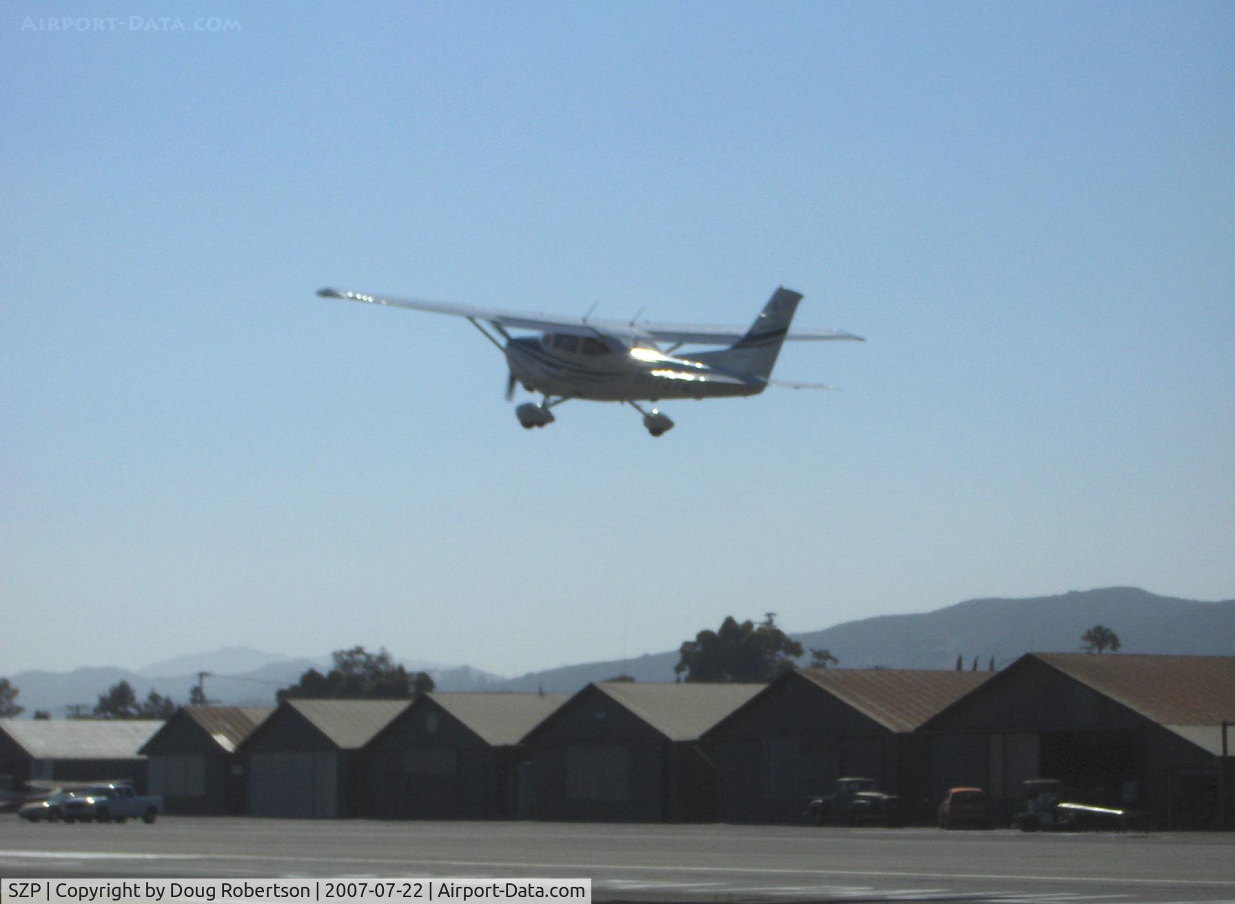
A recent Cessna 172S SKYHAWK SP departs Rwy 22 into the sun
Photo Info
| Airport | Santa Paula Airport |
|---|---|
| Photographer |
Doug Robertson
Contact
|
| Shot Date | 2007-07-22 |
| Upload Date | 2007-07-23 |
| Views | 1,038 |
EXIF Data
| Camera Make | Hewlett-Packard |
|---|---|
| Camera Model | HP PhotoSmart R607 (V01.00) |
| Shutter Speed | 1/1235 sec |
| Aperture | f/7.7 |
| ISO | 12704 |
| Focal Length | 17.4 mm |
| Exposure Bias | 0 EV |
| Metering Mode | Unknown (12560) |
| White Balance | Manual |
| Dimensions | 1792 × 1312 |
| Date Taken | 2007-07-22 16:35:13 |
More photos of Santa Paula Airport
Total 1165 photos.
View all photos

Doug Robertson

Doug Robertson

Doug Robertson

Doug Robertson

Doug Robertson