Santa Paula Airport Photo
Photo ID: AP6080
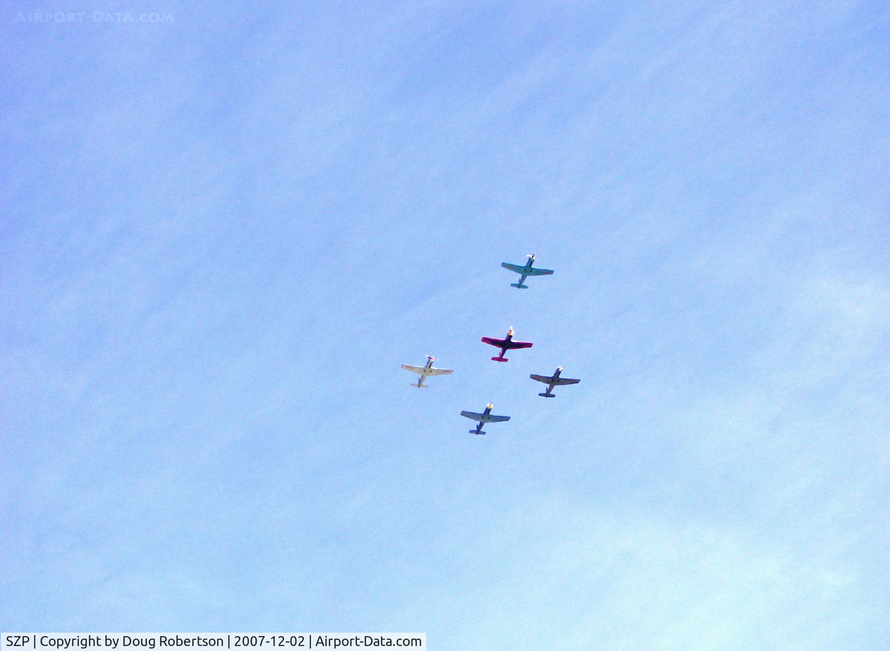
Five Nanchang China CJ6-As. High in Formation Flight. Second pass.
Photo Info
| Airport | Santa Paula Airport |
|---|---|
| Photographer |
Doug Robertson
Contact
|
| Shot Date | 2007-12-02 |
| Upload Date | 2007-12-03 |
| Views | 1,039 |
EXIF Data
| Camera Make | Hewlett-Packard |
|---|---|
| Camera Model | HP PhotoSmart R607 (V01.00) |
| Shutter Speed | 1/478 sec |
| Aperture | f/4.8 |
| ISO | 3552 |
| Focal Length | 17.4 mm |
| Exposure Bias | 0 EV |
| Metering Mode | Unknown (3408) |
| White Balance | Manual |
| Dimensions | 1792 × 1312 |
| Date Taken | 2007-12-02 14:49:59 |
More photos of Santa Paula Airport
Total 1165 photos.
View all photos

Doug Robertson

Doug Robertson

Doug Robertson

Doug Robertson

Doug Robertson