Santa Paula Airport Photo
Photo ID: AP6446
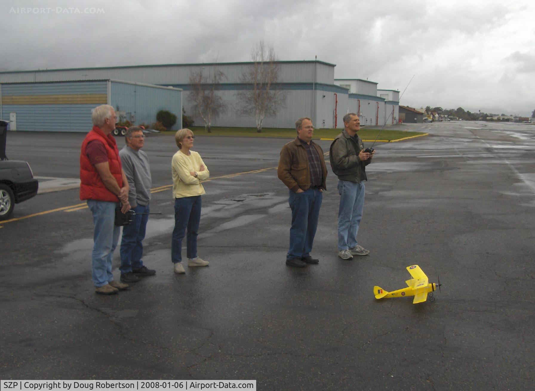
Always an attraction-flying RC drones near Rwy 04 threshold on calm windless day. Tiger Moth drone on deck. Please access more drones and in-flight drones from my Aircraft Home Page
Photo Info
| Airport | Santa Paula Airport |
|---|---|
| Photographer |
Doug Robertson
Contact
|
| Shot Date | 2008-01-06 |
| Upload Date | 2008-01-06 |
| Views | 1,124 |
EXIF Data
| Camera Make | Hewlett-Packard |
|---|---|
| Camera Model | HP PhotoSmart R607 (V01.00) |
| Shutter Speed | 1/469 sec |
| Aperture | f/2.7 |
| ISO | 3344 |
| Focal Length | 6.4 mm |
| Exposure Bias | 0 EV |
| Metering Mode | Unknown (3200) |
| White Balance | Manual |
| Dimensions | 1792 × 1312 |
| Date Taken | 2008-01-06 09:43:48 |
More photos of Santa Paula Airport
Total 1165 photos.
View all photos

Doug Robertson

Doug Robertson

Doug Robertson

Doug Robertson

Doug Robertson