Fort Worth Nas Jrb/carswell Field Airport Photo
Photo ID: AP6450
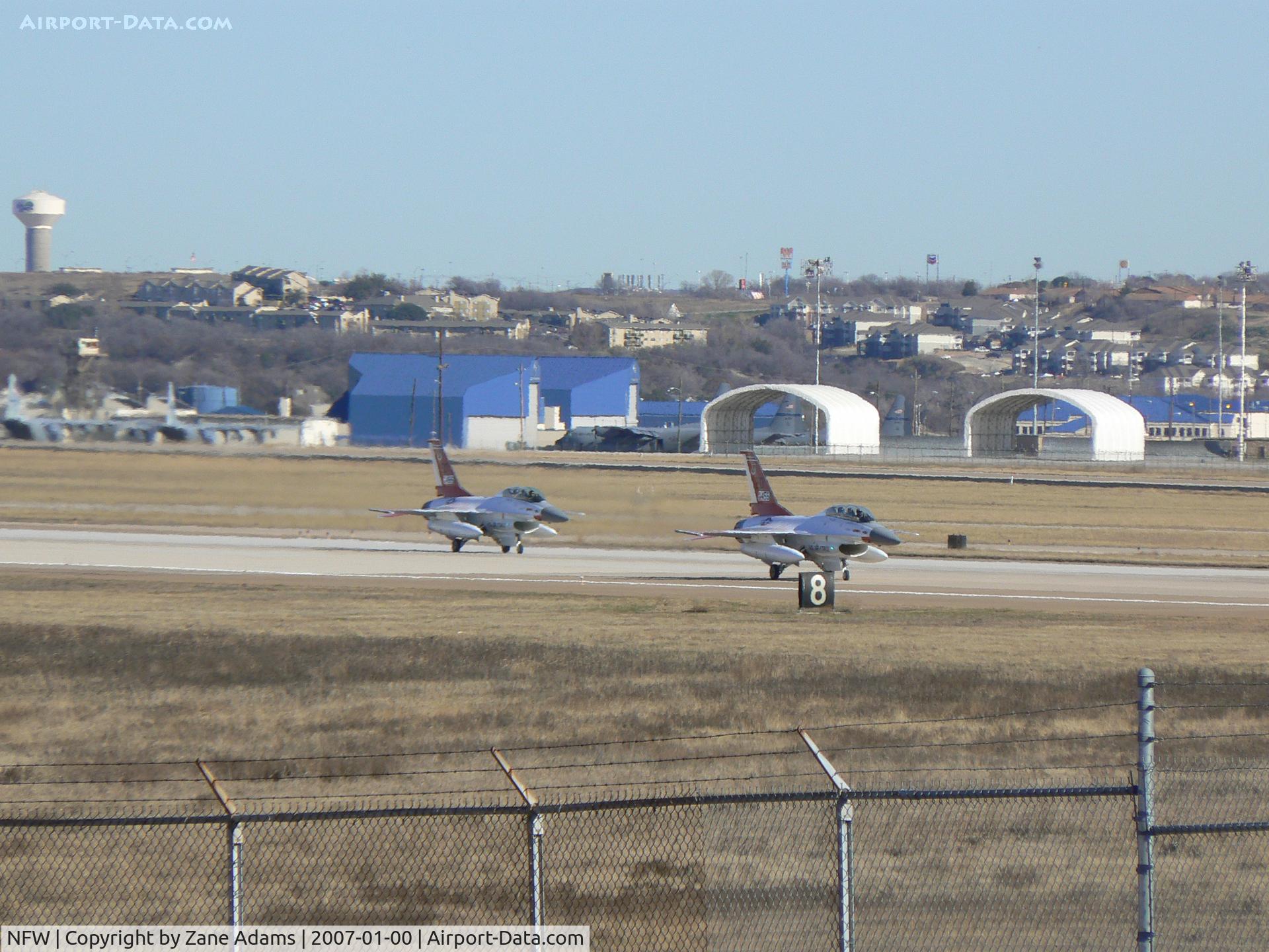
Two chase aircraft from Edwards AFB in town for F-35 flight test. - 92-0455 and 92-0456
Location:
Photo Info
| Airport | Fort Worth Nas Jrb/carswell Field Airport |
|---|---|
| Photographer |
Zane Adams
Contact
|
| Shot Date | 2007-01-00 |
| Upload Date | 2008-01-07 |
| Views | 1,241 |
EXIF Data
| Camera Make | Panasonic |
|---|---|
| Camera Model | DMC-FZ7 |
| Shutter Speed | 1/400 sec |
| Aperture | f/8 |
| ISO | 80 |
| Focal Length | 72 mm |
| Exposure Bias | 0 EV |
| Metering Mode | Spot |
| White Balance | Auto |
| Software | Ver.1.0 |
| Dimensions | 2816 × 2112 |
| Date Taken | 2007-01-08 22:37:29 |
More photos of Fort Worth Nas Jrb/carswell Field Airport
Total 35 photos.
View all photos

Zane Adams

Zane Adams

Zane Adams

Zane Adams

Zane Adams