Harry Reid International Airport Photo
Photo ID: AP6646
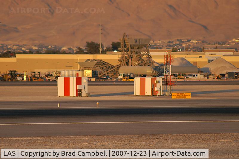
Sheds between RWY 25L and R.
Location:
Photo Info
| Airport | Harry Reid International Airport |
|---|---|
| Photographer |
Brad Campbell
Contact
|
| Shot Date | 2007-12-23 |
| Upload Date | 2008-02-03 |
| Views | 1,037 |
EXIF Data
| Camera Make | KONICA MINOLTA |
|---|---|
| Camera Model | MAXXUM 7D |
| Shutter Speed | 1/400 sec |
| Aperture | f/5.6 |
| ISO | 200 |
| Focal Length | 300 mm |
| Exposure Bias | +0.7 EV |
| Metering Mode | Pattern |
| White Balance | Auto |
| Software | Adobe Photoshop Elements 6.0 Windows |
| Dimensions | 800 × 532 |
| Date Taken | 2007-12-23 17:19:40 |
More photos of Harry Reid International Airport
Total 163 photos.
View all photos

John Little
")
Michel Teiten ( www.mablehome.com )

Shale Parker

Brad Campbell

SkyNevada