Santa Paula Airport Photo
Photo ID: AP6746
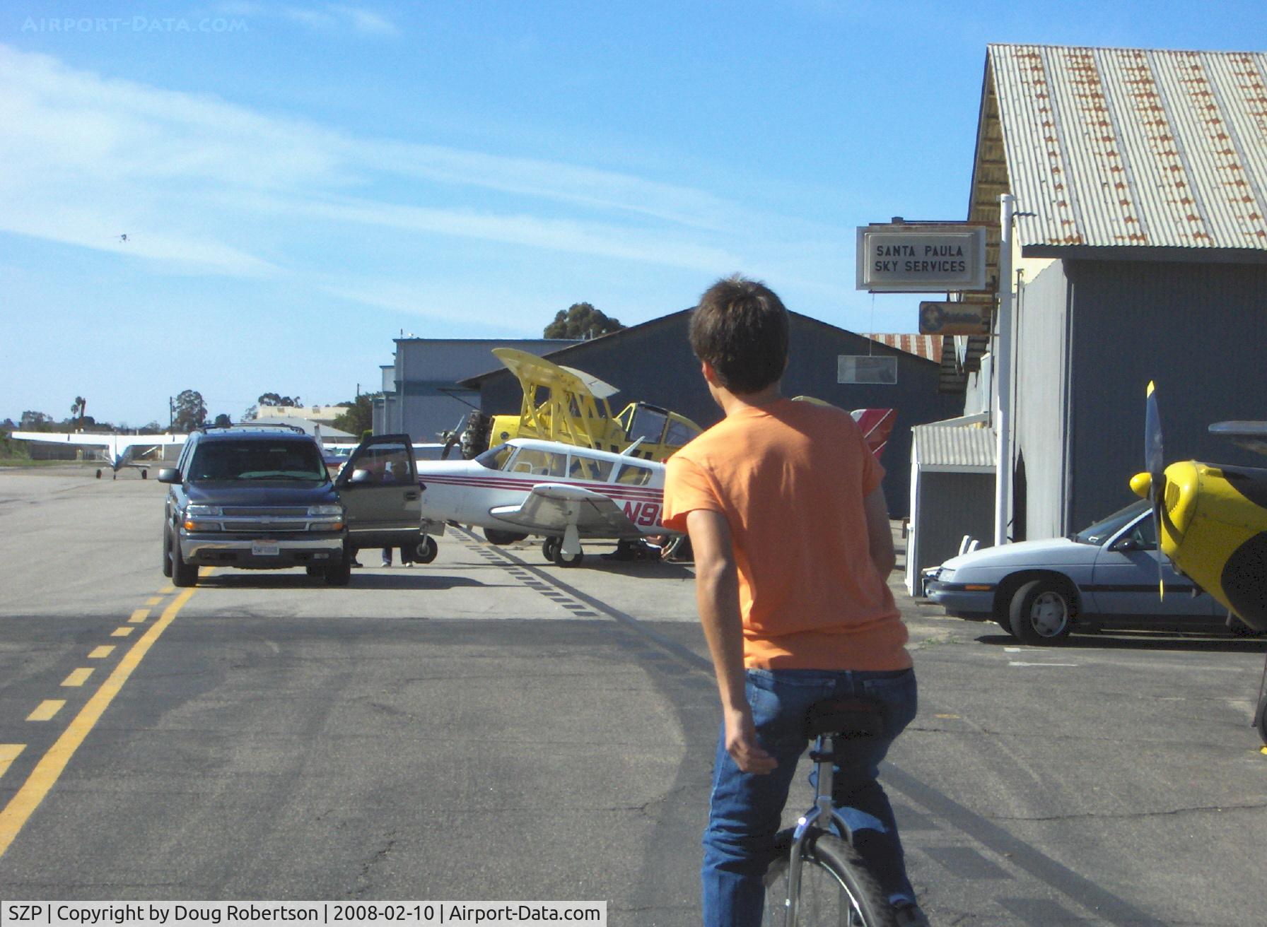
Personal forms of SZP airport transportation include golf carts, motorcycles, motorscooters, bicycles, motorized bicycles and a ...UNICYCLE! Sammy Mason onboard.
Photo Info
| Airport | Santa Paula Airport |
|---|---|
| Photographer |
Doug Robertson
Contact
|
| Shot Date | 2008-02-10 |
| Upload Date | 2008-02-12 |
| Views | 1,039 |
EXIF Data
| Camera Make | Hewlett-Packard |
|---|---|
| Camera Model | HP PhotoSmart R607 (V01.00) |
| Shutter Speed | 1/483 sec |
| Aperture | f/7.7 |
| ISO | 3952 |
| Focal Length | 17.4 mm |
| Exposure Bias | 0 EV |
| Metering Mode | Unknown (3808) |
| White Balance | Manual |
| Dimensions | 1792 × 1312 |
| Date Taken | 2008-02-10 11:08:54 |
More photos of Santa Paula Airport
Total 1165 photos.
View all photos

Doug Robertson

Doug Robertson

Doug Robertson

Doug Robertson

Doug Robertson