Oxnard Airport Photo
Photo ID: AP6757
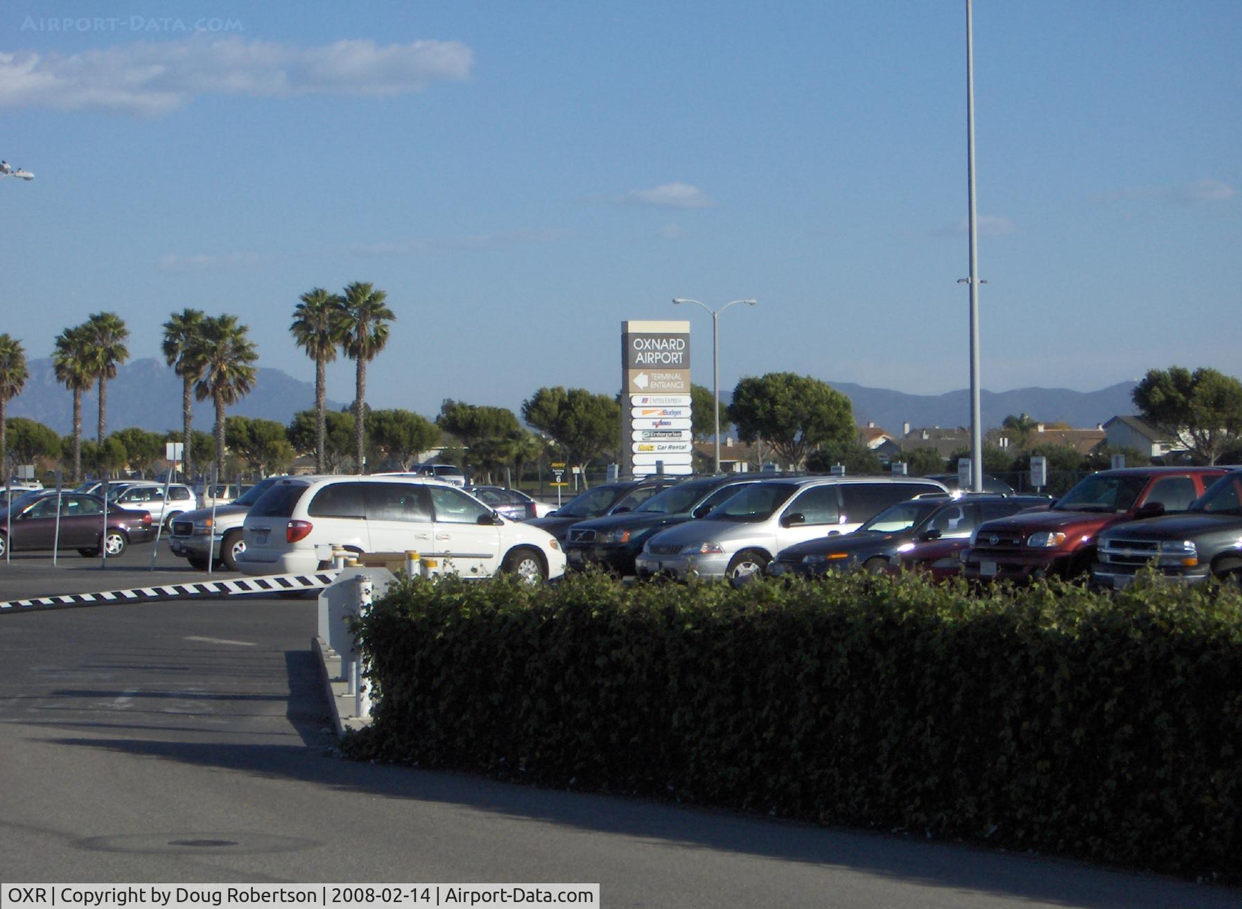
Airport Entrance Pylon on Fifth Street east of Patterson Road. OXR was a Civilian Pilot Training Program airport in the late 1930s, supplying pilots for WWII. USAAC pilots trained here in Stearman bipes also in early 1940s during WWII.
Photo Info
| Airport | Oxnard Airport |
|---|---|
| Photographer |
Doug Robertson
Contact
|
| Shot Date | 2008-02-14 |
| Upload Date | 2008-02-14 |
| Views | 1,055 |
EXIF Data
| Camera Make | Hewlett-Packard |
|---|---|
| Camera Model | HP PhotoSmart R607 (V01.00) |
| Shutter Speed | 1/400 sec |
| Aperture | f/7.7 |
| ISO | 100 |
| Focal Length | 17.4 mm |
| Exposure Bias | 0 EV |
| Metering Mode | Center-weighted average |
| White Balance | Auto |
| Dimensions | 1792 × 1312 |
| Date Taken | 2008-02-14 15:46:21 |
More photos of Oxnard Airport
Total 52 photos.
View all photos

Doug Robertson

Doug Robertson

Doug Robertson

Doug Robertson

Doug Robertson