Santa Paula Airport Photo
Photo ID: AP6930
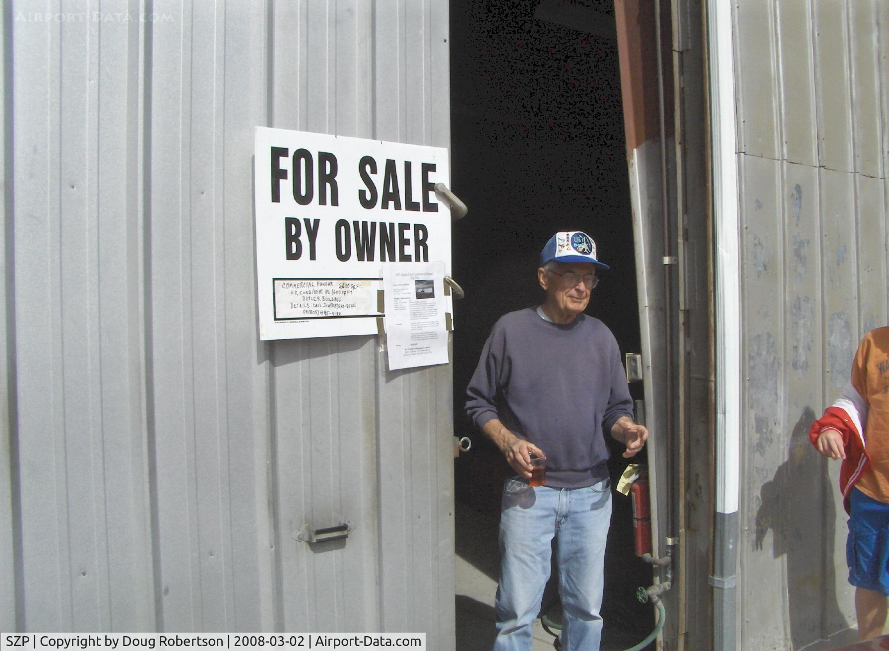
24 Beech Taxi. Large 5,600 sq. ft Commercial Hangar For Sale. Includes 1,600 sq ft office and shop heated and air-conditioned. Will hold a LOT of airplanes. Nice southern exposure and close runway access.
Photo Info
| Airport | Santa Paula Airport |
|---|---|
| Photographer |
Doug Robertson
Contact
|
| Shot Date | 2008-03-02 |
| Upload Date | 2008-03-03 |
| Views | 1,018 |
EXIF Data
| Camera Make | Hewlett-Packard |
|---|---|
| Camera Model | HP PhotoSmart R607 (V01.00) |
| Shutter Speed | 1/2041 sec |
| Aperture | f/4.3 |
| ISO | 2688 |
| Focal Length | 5.8 mm |
| Exposure Bias | 0 EV |
| Metering Mode | Unknown (2544) |
| White Balance | Manual |
| Dimensions | 1792 × 1312 |
| Date Taken | 2008-03-02 13:42:10 |
More photos of Santa Paula Airport
Total 1165 photos.
View all photos

Doug Robertson

Doug Robertson

Doug Robertson

Doug Robertson

Doug Robertson