Brown County Airport Photo
Photo ID: AP7213
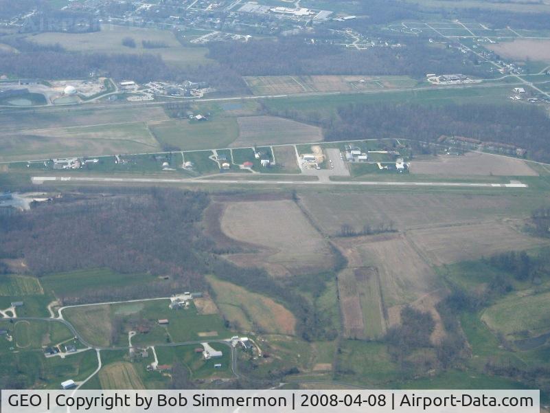
Looking west from 5000'
Location:
Photo Info
| Airport | Brown County Airport |
|---|---|
| Photographer |
Bob Simmermon
Contact
|
| Shot Date | 2008-04-08 |
| Upload Date | 2008-04-14 |
| Views | 1,371 |
EXIF Data
| Camera Make | Canon |
|---|---|
| Camera Model | Canon PowerShot A560 |
| Shutter Speed | 1/1250 sec |
| Aperture | f/3.5 |
| ISO | 80 |
| Focal Length | 9.8 mm |
| Exposure Bias | 0 EV |
| Metering Mode | Pattern |
| White Balance | Auto |
| Dimensions | 1600 × 1200 |
| Date Taken | 2008-04-08 13:54:40 |
More photos of Brown County Airport

Bob Simmermon

Bob Simmermon