Santa Paula Airport Photo
Photo ID: AP7375
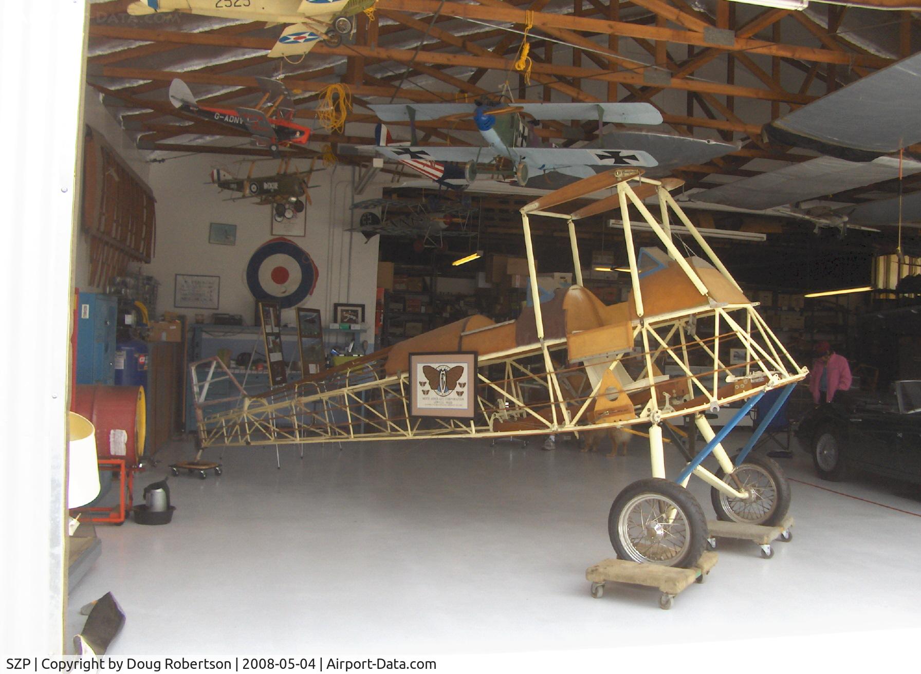
Moth Aircraft Corporation Gipsy Moth Fuselage, in the David Watson Hangar, Aviation Museum of Santa Paula.
Photo Info
| Airport | Santa Paula Airport |
|---|---|
| Photographer |
Doug Robertson
Contact
|
| Shot Date | 2008-05-04 |
| Upload Date | 2008-05-05 |
| Views | 1,052 |
EXIF Data
| Camera Make | Hewlett-Packard |
|---|---|
| Camera Model | HP PhotoSmart R607 (V01.00) |
| Shutter Speed | 1/602 sec |
| Aperture | f/2.6 |
| ISO | 7232 |
| Focal Length | 5.8 mm |
| Exposure Bias | 0 EV |
| Metering Mode | Unknown (7088) |
| White Balance | Manual |
| Dimensions | 1792 × 1312 |
| Date Taken | 2008-05-04 11:35:06 |
More photos of Santa Paula Airport
Total 1165 photos.
View all photos

Doug Robertson

Doug Robertson

Doug Robertson

Doug Robertson

Doug Robertson