Santa Paula Airport Photo
Photo ID: AP7467
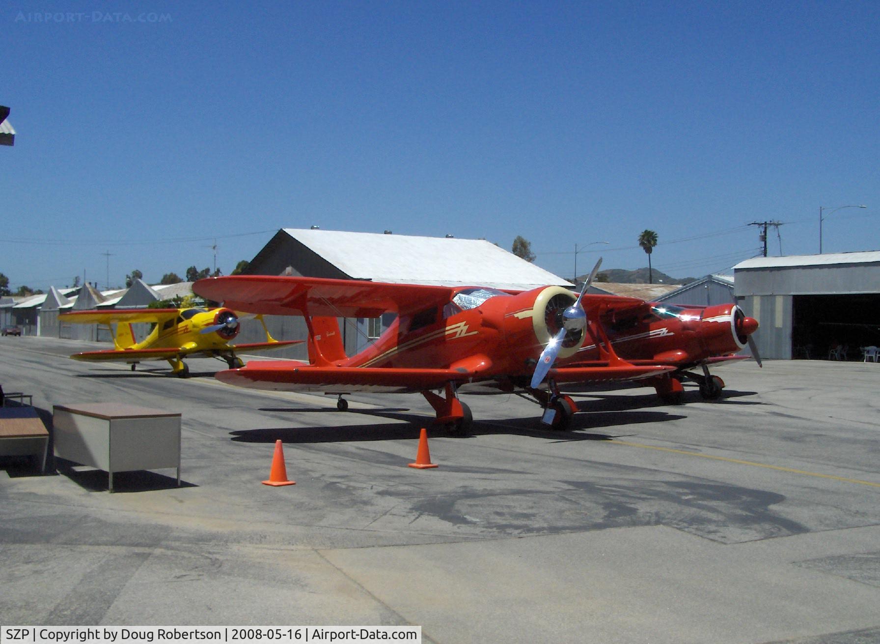
Beech STAGGERWINGS at 2008 National Howard Fly-In (share identical radial engines)
Photo Info
| Airport | Santa Paula Airport |
|---|---|
| Photographer |
Doug Robertson
Contact
|
| Shot Date | 2008-05-16 |
| Upload Date | 2008-05-16 |
| Views | 1,176 |
EXIF Data
| Camera Make | Hewlett-Packard |
|---|---|
| Camera Model | HP PhotoSmart R607 (V01.00) |
| Shutter Speed | 1/2041 sec |
| Aperture | f/4.6 |
| ISO | 100 |
| Focal Length | 6.8 mm |
| Exposure Bias | 0 EV |
| Metering Mode | Center-weighted average |
| White Balance | Auto |
| Dimensions | 1792 × 1312 |
| Date Taken | 2008-05-16 12:39:21 |
More photos of Santa Paula Airport
Total 1165 photos.
View all photos

Doug Robertson

Doug Robertson

Doug Robertson

Doug Robertson

Doug Robertson