Santa Paula Airport Photo
Photo ID: AP7746
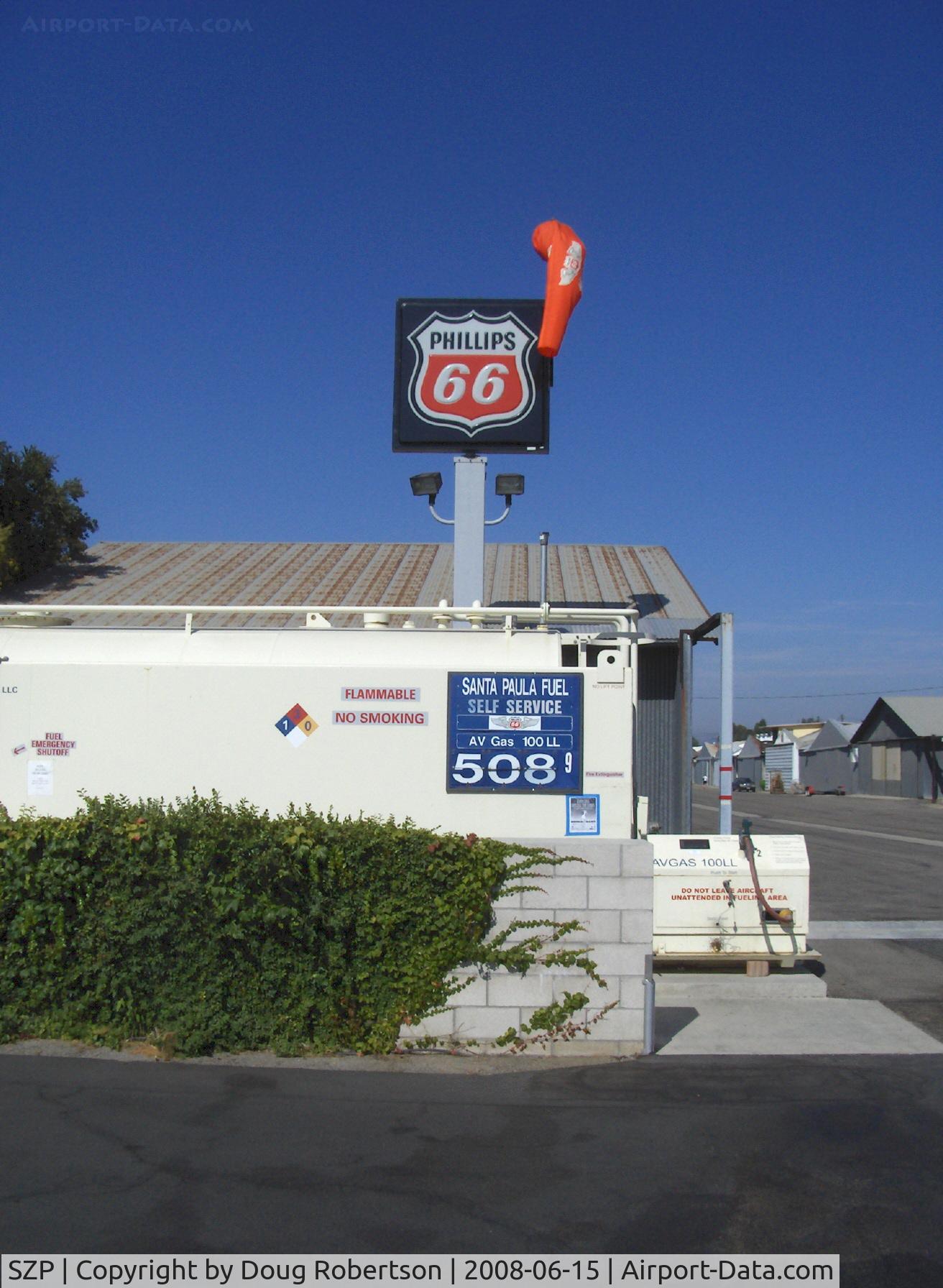
Current 100 LL price, lowest cost self-serve fuel of any Ventura County Airport
Photo Info
| Airport | Santa Paula Airport |
|---|---|
| Photographer |
Doug Robertson
Contact
|
| Shot Date | 2008-06-15 |
| Upload Date | 2008-06-16 |
| Views | 1,277 |
EXIF Data
| Camera Make | Hewlett-Packard |
|---|---|
| Camera Model | HP PhotoSmart R607 (V01.00) |
| Shutter Speed | 1/2041 sec |
| Aperture | f/4.3 |
| ISO | 3040 |
| Focal Length | 5.8 mm |
| Exposure Bias | 0 EV |
| Metering Mode | Unknown (2896) |
| White Balance | Manual |
| Dimensions | 1312 × 1792 |
| Date Taken | 2008-06-15 09:32:05 |
More photos of Santa Paula Airport
Total 1165 photos.
View all photos

Doug Robertson

Doug Robertson

Doug Robertson

Doug Robertson

Doug Robertson