Santa Paula Airport Photo
Photo ID: AP7845
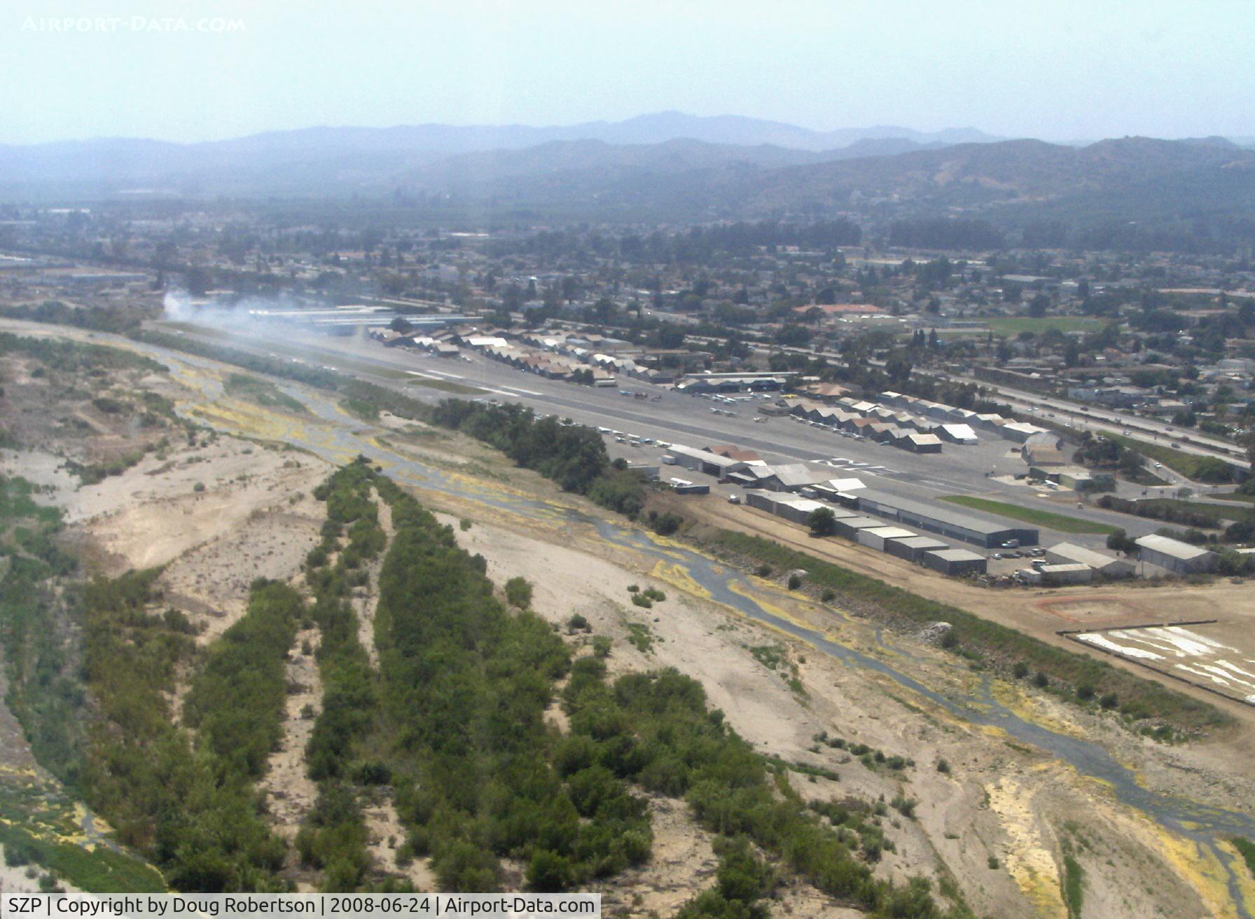
Turning base for Rwy 22, off airport fire smoke in distance. Note: fire was burning brush, not an aircraft accident
Photo Info
| Airport | Santa Paula Airport |
|---|---|
| Photographer |
Doug Robertson
Contact
|
| Shot Date | 2008-06-24 |
| Upload Date | 2008-06-24 |
| Views | 930 |
EXIF Data
| Camera Make | Hewlett-Packard |
|---|---|
| Camera Model | HP PhotoSmart R607 (V01.00) |
| Shutter Speed | 1/1053 sec |
| Aperture | f/5.3 |
| ISO | 3568 |
| Focal Length | 9.2 mm |
| Exposure Bias | 0 EV |
| Metering Mode | Unknown (3424) |
| White Balance | Manual |
| Dimensions | 1792 × 1312 |
| Date Taken | 2008-06-24 14:45:56 |
More photos of Santa Paula Airport
Total 1165 photos.
View all photos

Doug Robertson
 just adjacent northern Santa Paula. Note smoky sky. - by Doug Robertson")
Doug Robertson

Doug Robertson

Doug Robertson
, CA with hilltop in background - by Steve Nation")
Steve Nation