Hawarden Airport Photo
Photo ID: AP8309
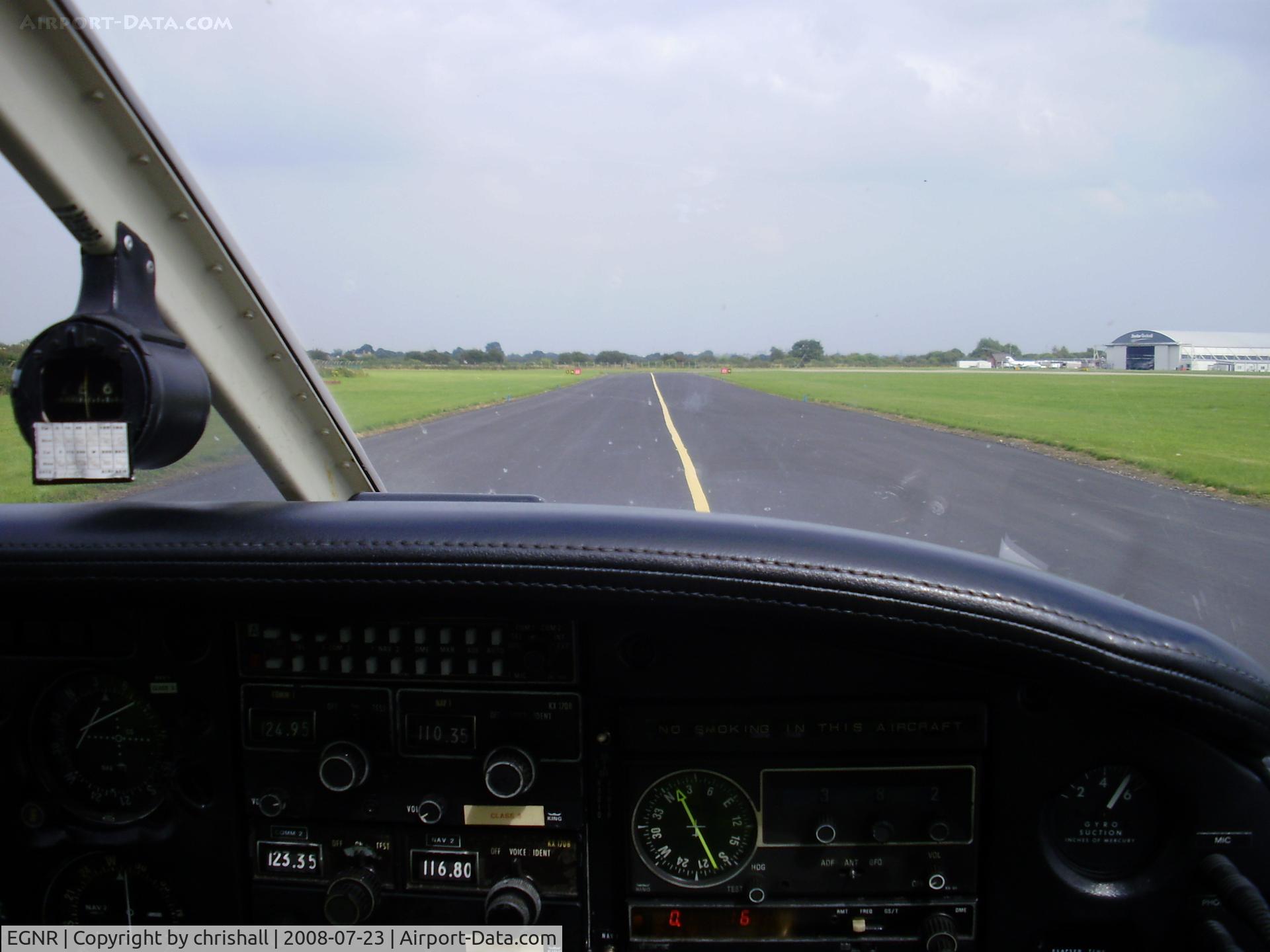
on the taxiway
Location:
Photo Info
| Airport | Hawarden Airport |
|---|---|
| Photographer |
chrishall
Contact
|
| Shot Date | 2008-07-23 |
| Upload Date | 2008-07-23 |
| Views | 1,149 |
EXIF Data
| Camera Make | OLYMPUS IMAGING CORP. |
|---|---|
| Camera Model | FE330,X845,C550 |
| Shutter Speed | 1/500 sec |
| Aperture | f/3.6 |
| ISO | 64 |
| Focal Length | 6.3 mm |
| Exposure Bias | 0 EV |
| Metering Mode | Center-weighted average |
| White Balance | Auto |
| Software | 1.0 |
| Dimensions | 2048 × 1536 |
| Date Taken | 2008-07-23 15:37:18 |
More photos of Hawarden Airport
Total 62 photos.
View all photos

chris hall

Chris Hall

chrishall

Chris Hall

Chris Hall