Wittman Regional Airport Photo
Photo ID: AP8492
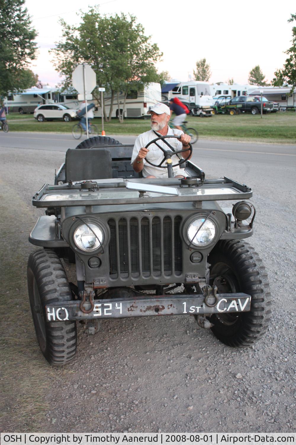
EAA AirVenture 2008, Ultralight/Light Aircraft Commentator Mark Lisitza graciously gave me and two others a ride in his 1951 Willys jeep from the ultralight area to the west end of Camp Scholler. I thank him, and my feet thank him too. It's a long walk.
Location:
Photo Info
| Airport | Wittman Regional Airport |
|---|---|
| Photographer |
Timothy Aanerud
Contact
|
| Shot Date | 2008-08-01 |
| Upload Date | 2008-08-07 |
| Views | 936 |
EXIF Data
| Camera Make | Canon |
|---|---|
| Camera Model | Canon EOS DIGITAL REBEL XSi |
| Shutter Speed | 1/30 sec |
| Aperture | f/4 |
| ISO | 400 |
| Focal Length | 24 mm |
| Exposure Bias | 0 EV |
| Metering Mode | Partial |
| White Balance | Auto |
| Software | Adobe Photoshop Elements 4.0 Windows |
| Dimensions | 1000 × 1500 |
| Date Taken | 2008-08-01 20:15:11 |
More photos of Wittman Regional Airport
Total 483 photos.
View all photos

Terry Fletcher

Todd Royer

Todd Royer

steveowen

Todd Royer