Santa Paula Airport Photo
Photo ID: AP9136
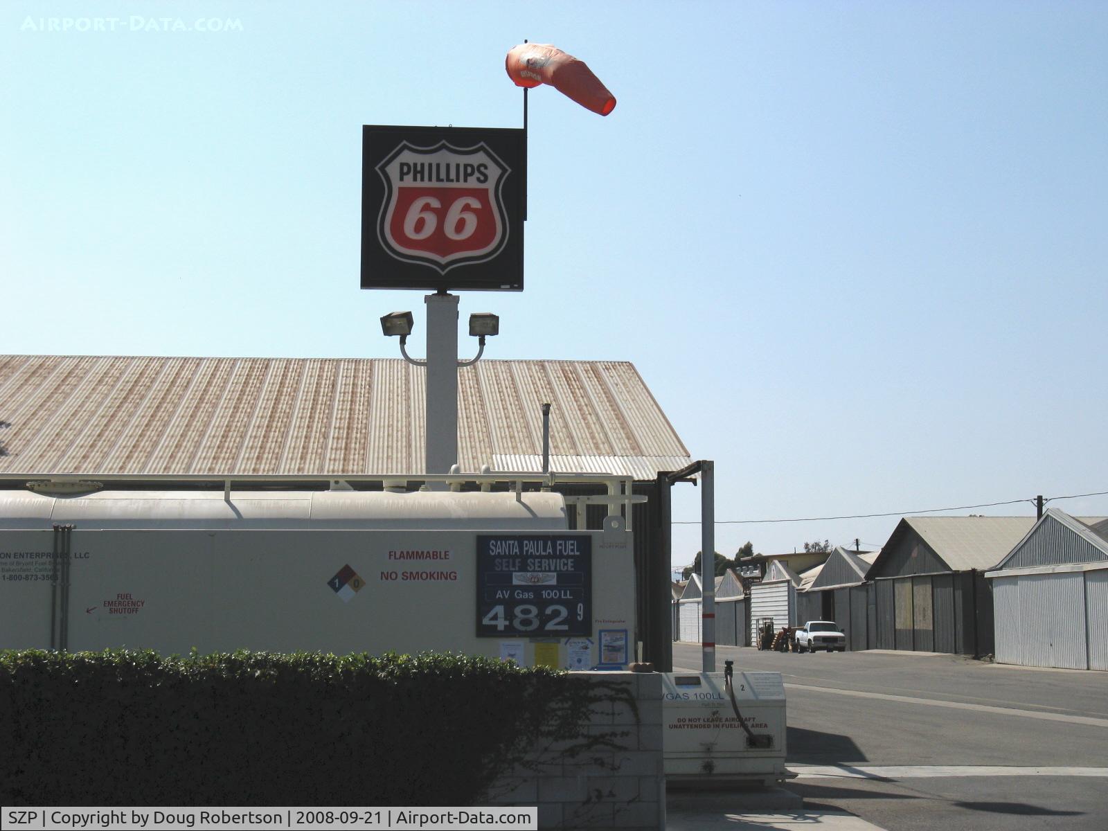
Lowest price 100LL in Ventura County
Photo Info
| Airport | Santa Paula Airport |
|---|---|
| Photographer |
Doug Robertson
Contact
|
| Shot Date | 2008-09-21 |
| Upload Date | 2008-09-22 |
| Views | 836 |
EXIF Data
| Camera Make | Canon |
|---|---|
| Camera Model | Canon PowerShot A720 IS |
| Shutter Speed | 1/1500 sec |
| Aperture | f/4 |
| ISO | 2944 |
| Focal Length | 10 mm |
| Exposure Bias | 0 EV |
| Metering Mode | Unknown (2576) |
| White Balance | Manual |
| Dimensions | 1600 × 1200 |
| Date Taken | 2008-09-21 14:31:00 |
More photos of Santa Paula Airport
Total 1165 photos.
View all photos

Doug Robertson

Doug Robertson

Doug Robertson

Doug Robertson

Doug Robertson