NONE Photo
Photo ID: AP9257
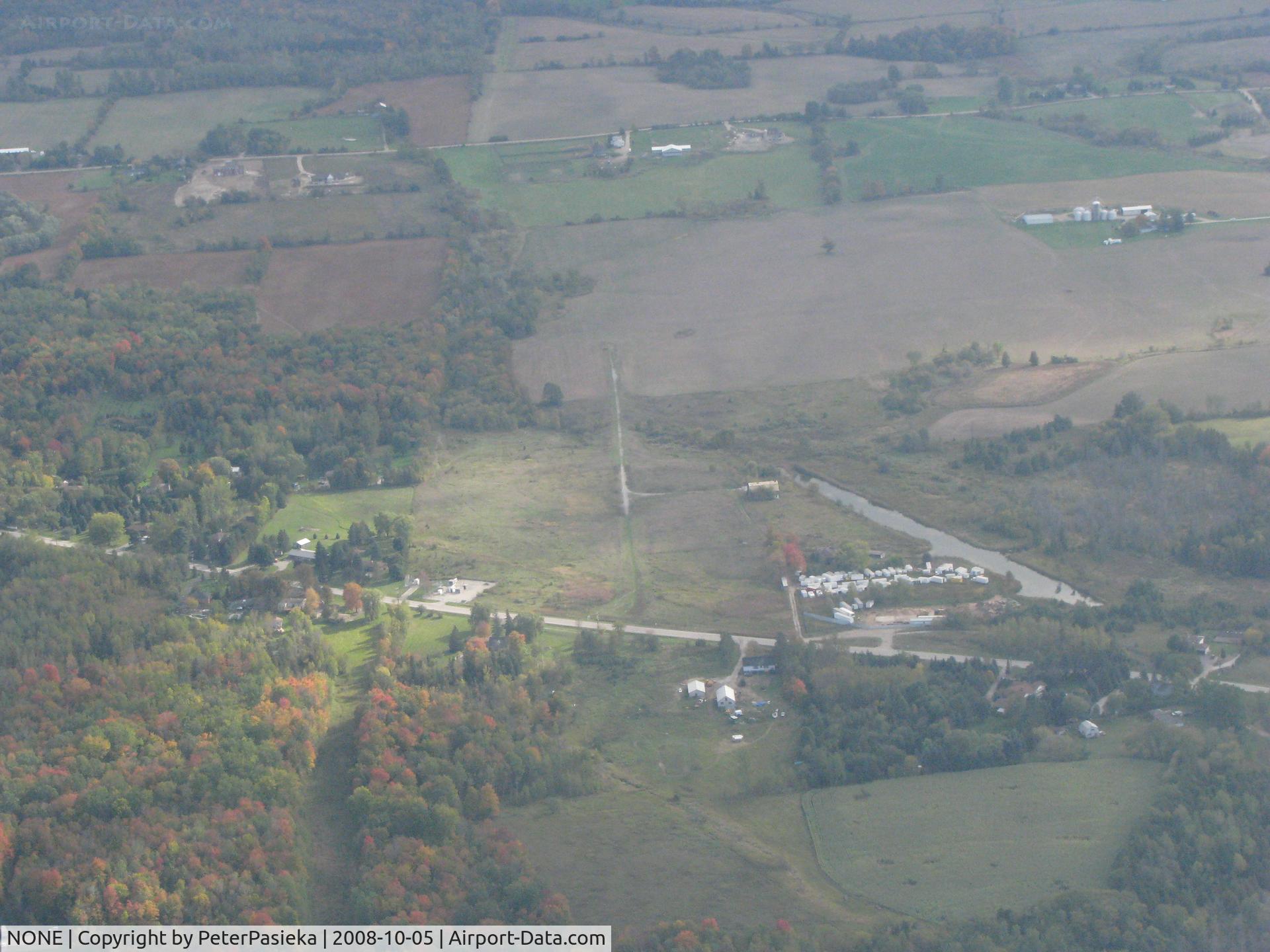
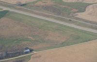
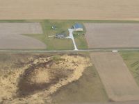
Pottageville, Ontario Canada. The narrow gravel strip is what is left over after an attempt to have an airport. The water ditch was dug to allow float-equiped aircraft to land there. The locals got together and forced the closure.
Location:
Photo Info
EXIF Data
| Camera Make | Canon |
|---|---|
| Camera Model | Canon PowerShot S5 IS |
| Shutter Speed | 1/640 sec |
| Aperture | f/5.6 |
| ISO | 400 |
| Focal Length | 16 mm |
| Exposure Bias | 0 EV |
| Metering Mode | Pattern |
| White Balance | Auto |
| Dimensions | 3264 × 2448 |
| Date Taken | 2008-10-05 15:42:30 |
More photos of NONE
Bob Simmermon
Bob Simmermon
Chris Hall
Kreg Anderson
Bob Simmermon