Santa Paula Airport Photo
Photo ID: AP9280
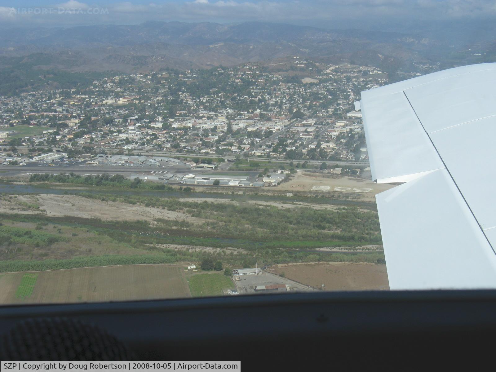
Turning to Base Leg for Runway 22-N9YZ
Photo Info
| Airport | Santa Paula Airport |
|---|---|
| Photographer |
Doug Robertson
Contact
|
| Shot Date | 2008-10-05 |
| Upload Date | 2008-10-08 |
| Views | 921 |
EXIF Data
| Camera Make | Canon |
|---|---|
| Camera Model | Canon PowerShot A720 IS |
| Shutter Speed | 1/800 sec |
| Aperture | f/4 |
| ISO | 2736 |
| Focal Length | 7.1 mm |
| Exposure Bias | 0 EV |
| Metering Mode | Unknown (4080) |
| White Balance | Manual |
| Dimensions | 1600 × 1200 |
| Date Taken | 2008-10-05 10:22:22 |
More photos of Santa Paula Airport
Total 1165 photos.
View all photos

Doug Robertson

Doug Robertson

Doug Robertson

Doug Robertson

Doug Robertson