Dare County Regional Airport Photo
Photo ID: AP9384
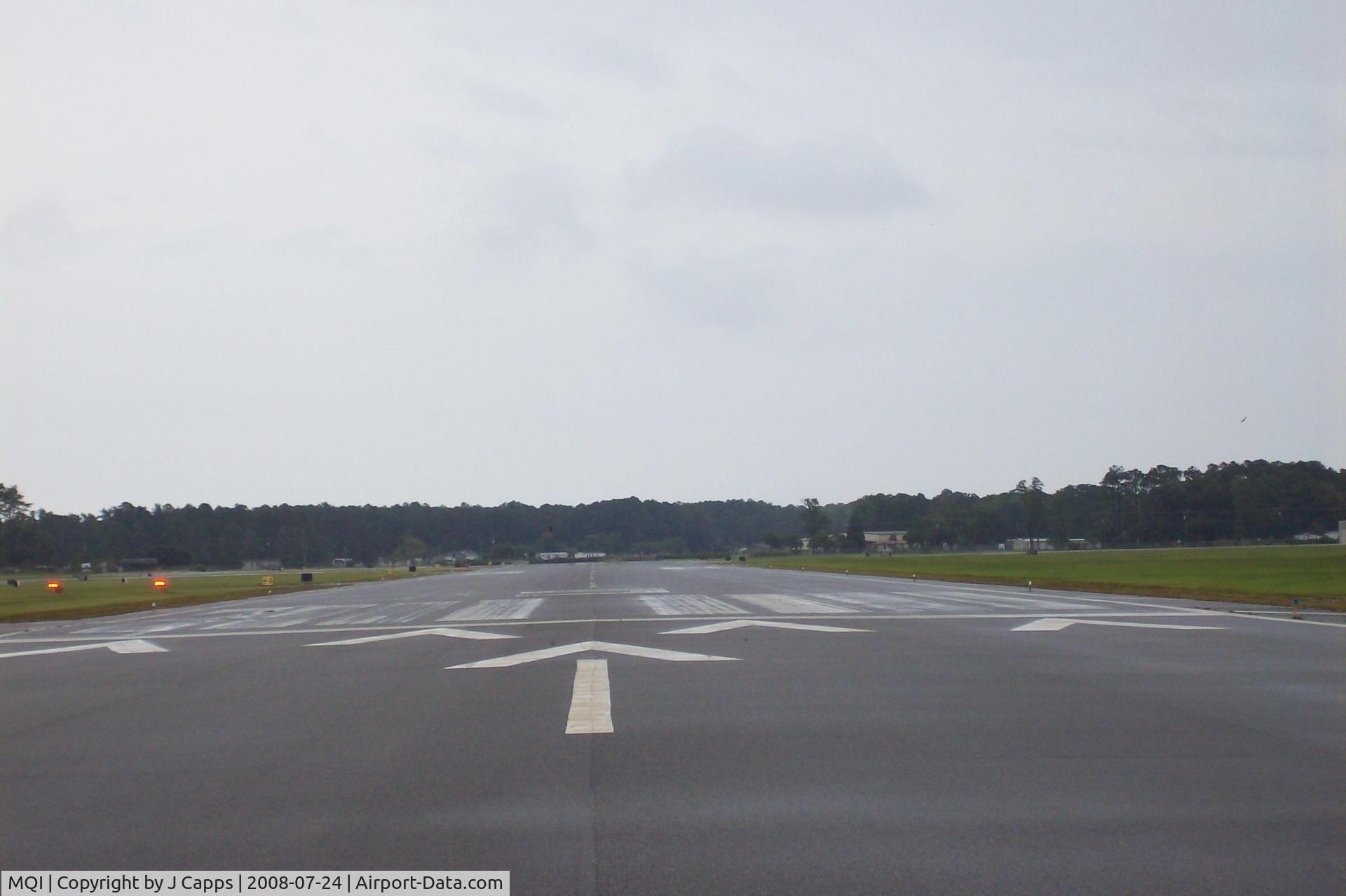
RWY 05
Photo Info
| Airport | Dare County Regional Airport |
|---|---|
| Photographer |
J Capps
|
| Shot Date | 2008-07-24 |
| Upload Date | 2008-10-16 |
| Views | 948 |
EXIF Data
| Camera Make | EASTMAN KODAK COMPANY |
|---|---|
| Camera Model | KODAK EASYSHARE C643 ZOOM DIGITAL CAMERA |
| Shutter Speed | 1/282 sec |
| Aperture | f/4.8 |
| ISO | 80 |
| Focal Length | 18 mm |
| Exposure Bias | 0 EV |
| Metering Mode | Center-weighted average |
| White Balance | Auto |
| Software | Version 1.2000 |
| Dimensions | 2848 × 1896 |
| Date Taken | 2008-07-24 10:56:50 |
More photos of Dare County Regional Airport
Total 16 photos.
View all photos

J Capps

J Capps

Louis Mavredes

J.B. Barbour

Paul Perry