Tegel International Airport (closing in 2011) Photo
Photo ID: AP10577
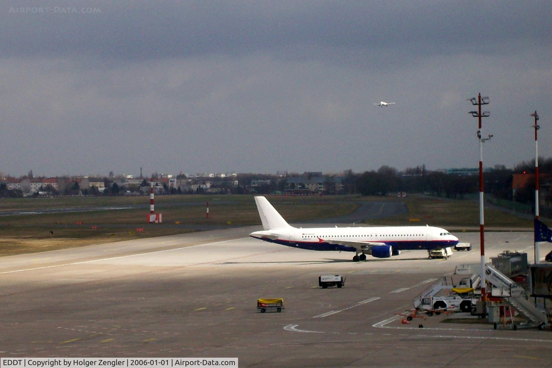
Under a sunray
Photo Info
| Airport | Tegel International Airport (closing in 2011) |
|---|---|
| Photographer |
Holger Zengler
Contact
|
| Shot Date | 2006-01-01 |
| Upload Date | 2009-01-26 |
| Views | 787 |
EXIF Data
| Camera Make | EASTMAN KODAK COMPANY |
|---|---|
| Camera Model | KODAK EASYSHARE C633 ZOOM DIGITAL CAMERA |
| Shutter Speed | 1/767 sec |
| Aperture | f/4.8 |
| ISO | 80 |
| Focal Length | 18 mm |
| Exposure Bias | 0 EV |
| Metering Mode | Center-weighted average |
| White Balance | Auto |
| Software | Picasa 3.0 |
| Dimensions | 2039 × 1360 |
| Date Taken | 2006-01-01 17:25:55 |
More photos of Tegel International Airport (closing in 2011)
Total 358 photos.
View all photos

Tomas Milosch

Holger Zengler

Ingo Warnecke

Holger Zengler

Tomas Milosch