Greene County-lewis A. Jackson Regional Airport Photo
Photo ID: AP11080
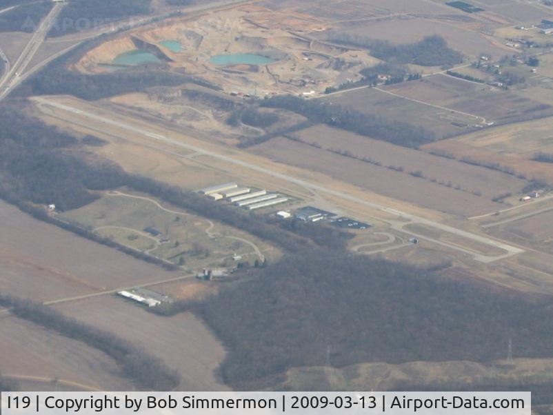
Looking SE from 5500'
Location:
Photo Info
| Airport | Greene County-lewis A. Jackson Regional Airport |
|---|---|
| Photographer |
Bob Simmermon
Contact
|
| Shot Date | 2009-03-13 |
| Upload Date | 2009-03-14 |
| Views | 792 |
EXIF Data
| Camera Make | Canon |
|---|---|
| Camera Model | Canon PowerShot A560 |
| Shutter Speed | 1/500 sec |
| Aperture | f/4 |
| ISO | 80 |
| Focal Length | 13.7 mm |
| Exposure Bias | 0 EV |
| Metering Mode | Pattern |
| White Balance | Auto |
| Dimensions | 2048 × 1536 |
| Date Taken | 2009-03-13 15:03:35 |
More photos of Greene County-lewis A. Jackson Regional Airport
Total 21 photos.
View all photos

Allen M. Schultheiss

Mark Pasqualino

Bob Simmermon

Bob Simmermon

Bob Simmermon