Anglesey Airport (Maes Awyr Môn) or RAF Valley Photo
Photo ID: AP12026
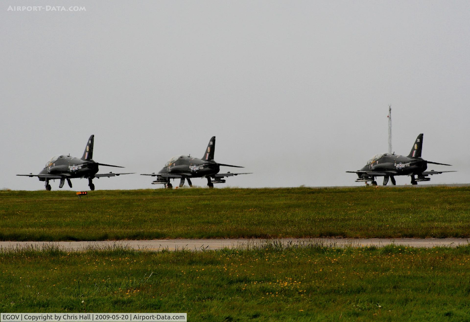
Three Hawk's on the runway at RAF Valley
Location:
Photo Info
| Airport | Anglesey Airport (Maes Awyr Môn) or RAF Valley |
|---|---|
| Photographer |
Chris Hall
Contact
|
| Shot Date | 2009-05-20 |
| Upload Date | 2009-05-22 |
| Views | 1,507 |
EXIF Data
| Camera Make | OLYMPUS IMAGING CORP. |
|---|---|
| Camera Model | Canon EOS 350D |
| Shutter Speed | 1/640 sec |
| Aperture | f/9 |
| ISO | 200 |
| Focal Length | 160 mm |
| Exposure Bias | -0.33 EV |
| Metering Mode | Pattern |
| White Balance | Auto |
| Software | OLYMPUS Master 2.11W |
| Dimensions | 2788 × 1912 |
| Date Taken | 2009-05-20 10:10:49 |
More photos of Anglesey Airport (Maes Awyr Môn) or RAF Valley
Total 27 photos.
View all photos

Chris Hall

Chris Hall

Joop de Groot
 Sqn - by Chris Hall")
Chris Hall

Chris Hall