Tegel International Airport (closing in 2011) Photo
Photo ID: AP12088
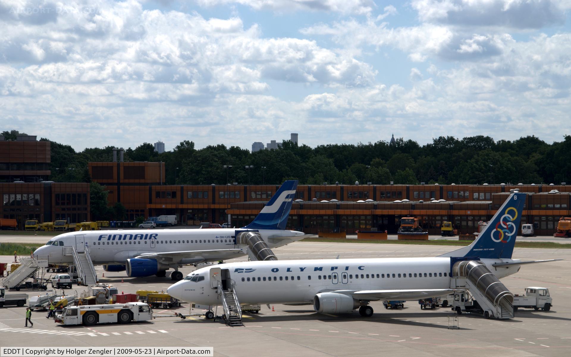
North Europe meets South Europe in Berlin
Photo Info
| Airport | Tegel International Airport (closing in 2011) |
|---|---|
| Photographer |
Holger Zengler
Contact
|
| Shot Date | 2009-05-23 |
| Upload Date | 2009-05-25 |
| Views | 788 |
EXIF Data
| Camera Make | NIKON |
|---|---|
| Camera Model | D40X |
| Shutter Speed | 1/320 sec |
| Aperture | f/8 |
| ISO | 100 |
| Focal Length | 90 mm |
| Metering Mode | Pattern |
| Software | Picasa 3.0 |
| Dimensions | 3893 × 2433 |
| Date Taken | 2009-05-23 09:22:11 |
More photos of Tegel International Airport (closing in 2011)
Total 358 photos.
View all photos

Holger Zengler

Holger Zengler

Tomas Milosch

Ingo Warnecke

Micha Lueck