Santa Paula Airport Photo
Photo ID: AP12229
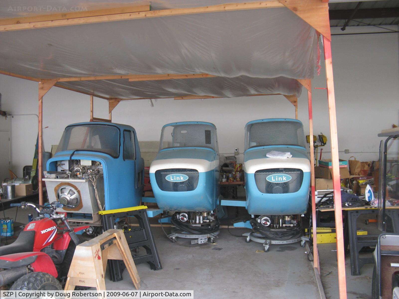
Link Trainers-three GAT-1s circa 1962. When I took my primary flight training we used the original wood black-painted, pneumatically operated Link Trainer with stubby wings sealed up in the dark.
Photo Info
| Airport | Santa Paula Airport |
|---|---|
| Photographer |
Doug Robertson
Contact
|
| Shot Date | 2009-06-07 |
| Upload Date | 2009-06-07 |
| Views | 859 |
EXIF Data
| Camera Make | Canon |
|---|---|
| Camera Model | Canon PowerShot A720 IS |
| Shutter Speed | 1/60 sec |
| Aperture | f/2.8 |
| ISO | 9888 |
| Focal Length | 5.8 mm |
| Exposure Bias | 0 EV |
| Metering Mode | Unknown (9520) |
| White Balance | Manual |
| Dimensions | 1600 × 1200 |
| Date Taken | 2009-06-07 10:49:07 |
More photos of Santa Paula Airport
Total 1165 photos.
View all photos

Doug Robertson

Doug Robertson

Doug Robertson

Doug Robertson

Doug Robertson