Tegel International Airport (closing in 2011) Photo
Photo ID: AP12672
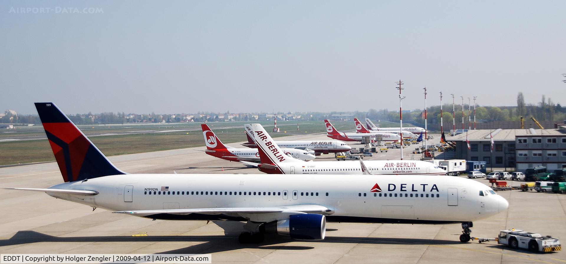
Traffic in the northern parts of TXL
Photo Info
| Airport | Tegel International Airport (closing in 2011) |
|---|---|
| Photographer |
Holger Zengler
Contact
|
| Shot Date | 2009-04-12 |
| Upload Date | 2009-06-29 |
| Views | 792 |
EXIF Data
| Camera Make | NIKON CORPORATION |
|---|---|
| Camera Model | NIKON D40X |
| Shutter Speed | 1/1000 sec |
| Aperture | f/4.8 |
| ISO | 110 |
| Focal Length | 34 mm |
| Exposure Bias | 0 EV |
| Metering Mode | Pattern |
| White Balance | Auto |
| Software | Picasa 3.0 |
| Dimensions | 3606 × 1686 |
| Date Taken | 2009-04-12 11:07:18 |
More photos of Tegel International Airport (closing in 2011)
Total 358 photos.
View all photos

Holger Zengler

Holger Zengler

Holger Zengler

Holger Zengler

Holger Zengler