Santa Paula Airport Photo
Photo ID: AP12845
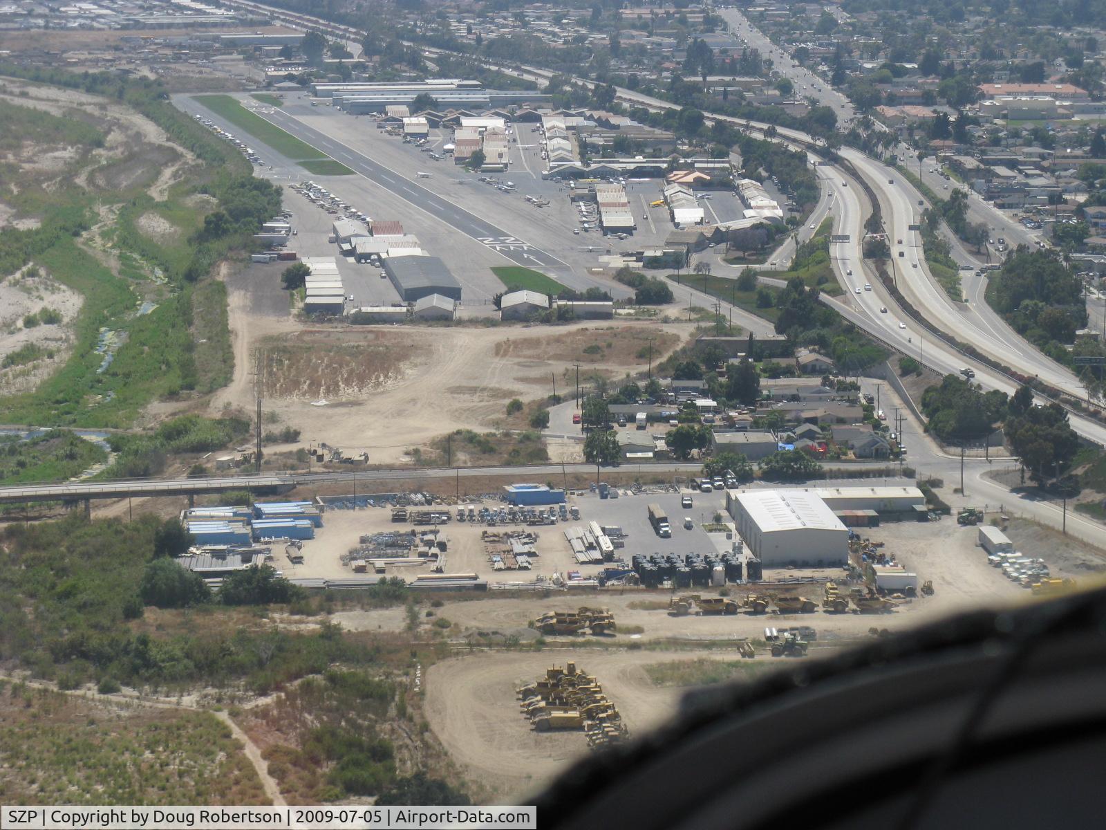
Turning final for Rwy 22 in N406L. SZP is unlighted-at night aircraft have aligned with adjacent lighted freeway 126 intending to land at SZP-fortunately climbing out when error noted!
Photo Info
| Airport | Santa Paula Airport |
|---|---|
| Photographer |
Doug Robertson
Contact
|
| Shot Date | 2009-07-05 |
| Upload Date | 2009-07-06 |
| Views | 1,274 |
EXIF Data
| Camera Make | Canon |
|---|---|
| Camera Model | Canon PowerShot A720 IS |
| Shutter Speed | 1/640 sec |
| Aperture | f/4 |
| ISO | 80 |
| Focal Length | 17.2 mm |
| Exposure Bias | 0 EV |
| Metering Mode | Pattern |
| White Balance | Auto |
| Dimensions | 1600 × 1200 |
| Date Taken | 2009-07-05 14:44:51 |
More photos of Santa Paula Airport
Total 1165 photos.
View all photos

Doug Robertson

Doug Robertson

Doug Robertson
. - by Doug Robertson")
Doug Robertson

Doug Robertson