Santa Paula Airport Photo
Photo ID: AP12848
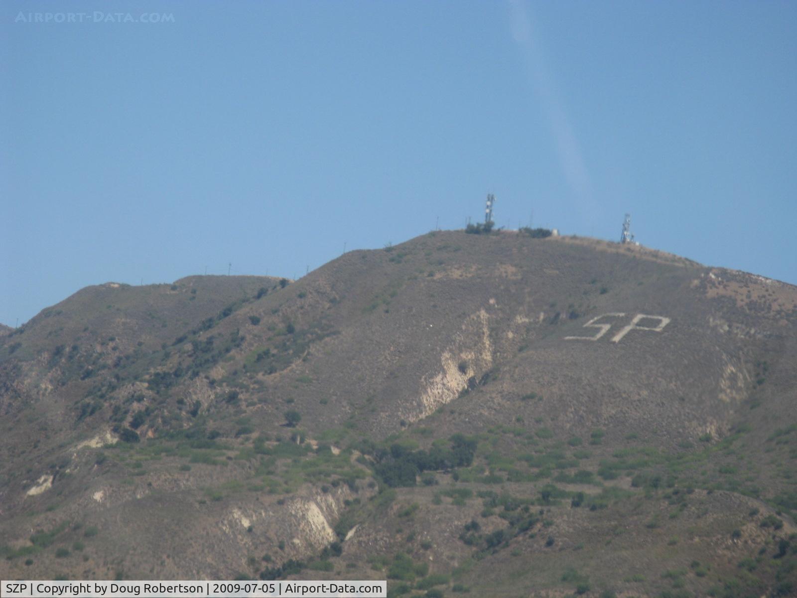
2,263' South Mountain from N406L, Note prominent SP for Santa Paula
Photo Info
| Airport | Santa Paula Airport |
|---|---|
| Photographer |
Doug Robertson
Contact
|
| Shot Date | 2009-07-05 |
| Upload Date | 2009-07-06 |
| Views | 2,288 |
EXIF Data
| Camera Make | Canon |
|---|---|
| Camera Model | Canon PowerShot A720 IS |
| Shutter Speed | 1/400 sec |
| Aperture | f/4.8 |
| ISO | 80 |
| Focal Length | 34.8 mm |
| Exposure Bias | 0 EV |
| Metering Mode | Pattern |
| White Balance | Auto |
| Dimensions | 1600 × 1200 |
| Date Taken | 2009-07-05 14:43:16 |
More photos of Santa Paula Airport
Total 1165 photos.
View all photos

Doug Robertson

Doug Robertson

Doug Robertson

Doug Robertson

Doug Robertson