Greene County-lewis A. Jackson Regional Airport Photo
Photo ID: AP14162
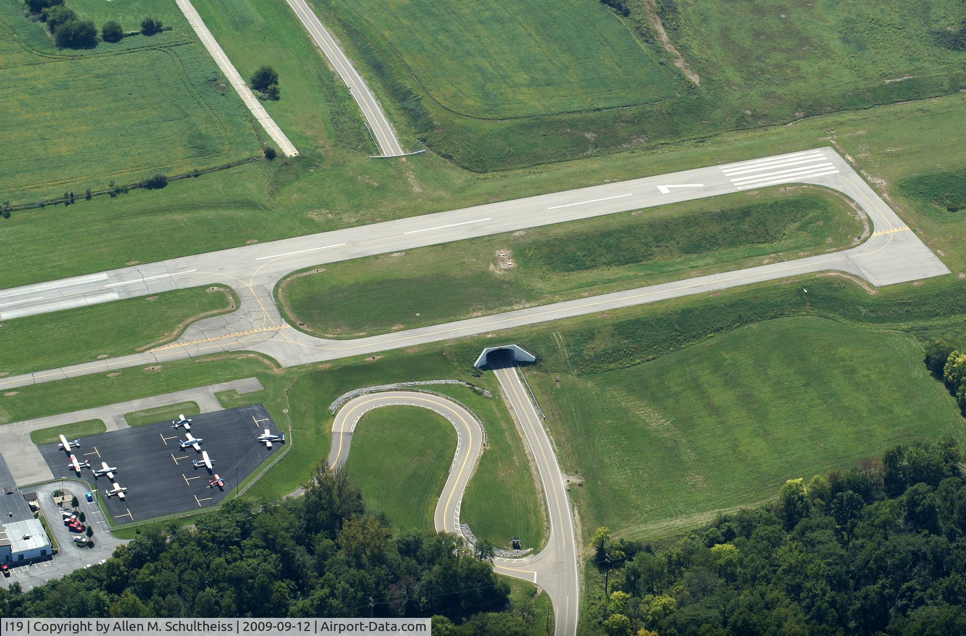
Tunnel under active runway
Photo Info
| Airport | Greene County-lewis A. Jackson Regional Airport |
|---|---|
| Photographer |
Allen M. Schultheiss
Contact
|
| Shot Date | 2009-09-12 |
| Upload Date | 2009-09-13 |
| Views | 1,067 |
EXIF Data
| Camera Make | SONY |
|---|---|
| Camera Model | DSLR-A100 |
| Shutter Speed | 1/160 sec |
| Aperture | f/10 |
| ISO | 100 |
| Focal Length | 70 mm |
| Exposure Bias | 0 EV |
| Metering Mode | Pattern |
| White Balance | Manual |
| Software | Picasa 3.0 |
| Dimensions | 3459 × 2278 |
| Date Taken | 2009-09-11 12:54:46 |
More photos of Greene County-lewis A. Jackson Regional Airport
Total 21 photos.
View all photos

Bob Simmermon

MacAir

Allen M. Schultheiss

Bob Simmermon

Bob Simmermon