Hawarden Airport Photo
Photo ID: AP14446
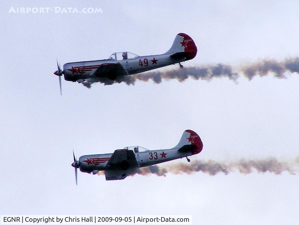
The Yakolovs display team displaying at the Airbus families day
Location:
Photo Info
| Airport | Hawarden Airport |
|---|---|
| Photographer |
Chris Hall
Contact
|
| Shot Date | 2009-09-05 |
| Upload Date | 2009-10-04 |
| Views | 756 |
EXIF Data
| Camera Make | OLYMPUS IMAGING CORP. |
|---|---|
| Camera Model | FinePix S5700 S700 |
| Shutter Speed | 1/450 sec |
| Aperture | f/6.3 |
| ISO | 64 |
| Focal Length | 63.3 mm |
| Exposure Bias | 0 EV |
| Metering Mode | Pattern |
| White Balance | Auto |
| Software | OLYMPUS Master 2.20W |
| Dimensions | 1024 × 770 |
| Date Taken | 2009-09-05 13:57:52 |
More photos of Hawarden Airport
Total 62 photos.
View all photos

chris hall

Chris Hall

Chris Hall

chris hall

Chris Hall