Oxnard Airport Photo
Photo ID: AP29134
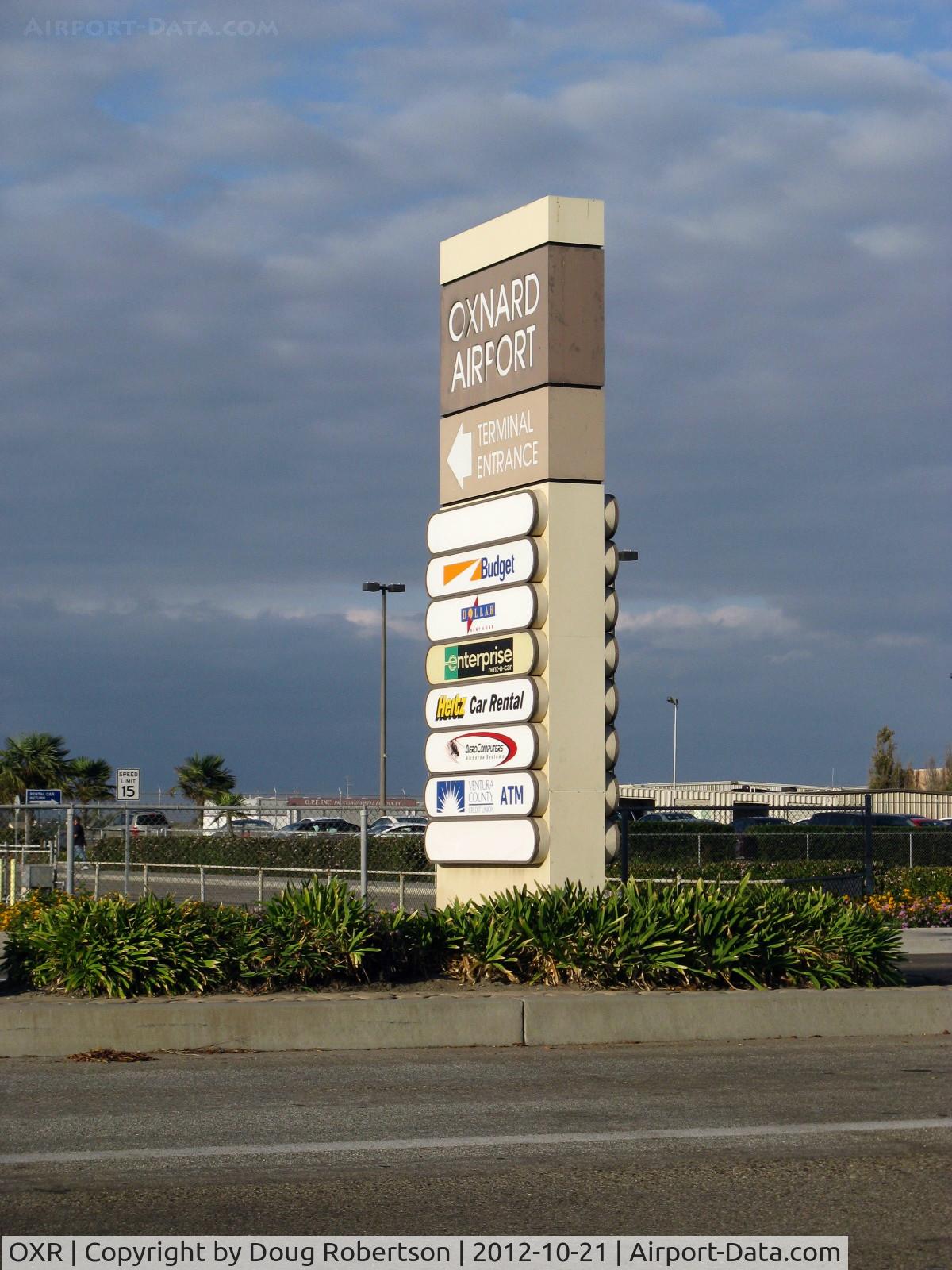
Oxnard Airport Street Entry Marker Pylon for Airport Passenger Terminal on West Fifth Street, Oxnard. California. NOTE: No scheduled commuter passenger service offered since Summer 2010.
Photo Info
| Airport | Oxnard Airport |
|---|---|
| Photographer |
Doug Robertson
Contact
|
| Shot Date | 2012-10-21 |
| Upload Date | 2012-10-22 |
| Views | 511 |
EXIF Data
| Camera Make | Canon |
|---|---|
| Camera Model | Canon PowerShot A720 IS |
| Shutter Speed | 1/1000 sec |
| Aperture | f/4 |
| ISO | 80 |
| Focal Length | 14.7 mm |
| Exposure Bias | 0 EV |
| White Balance | Auto |
| Dimensions | 1200 × 1600 |
| Date Taken | 2012-10-21 16:54:58 |
More photos of Oxnard Airport
Total 52 photos.
View all photos

Doug Robertson
 with sector block to the OXR Air Traffic Control Tower, atop one of several antenna farms. Location: SE. White-red vertical antennas are cell phone repeaters. - by Doug Robertson")
Doug Robertson

Doug Robertson

Doug Robertson

Doug Robertson